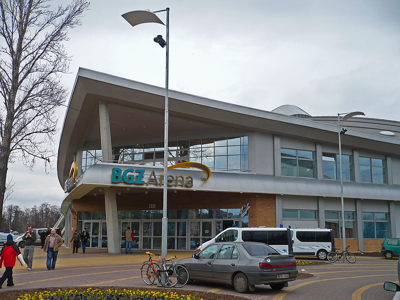
Były sierociniec "Nasz dom" utworzony w 1919r. przez Janusza Korczaka

Gallery (1)
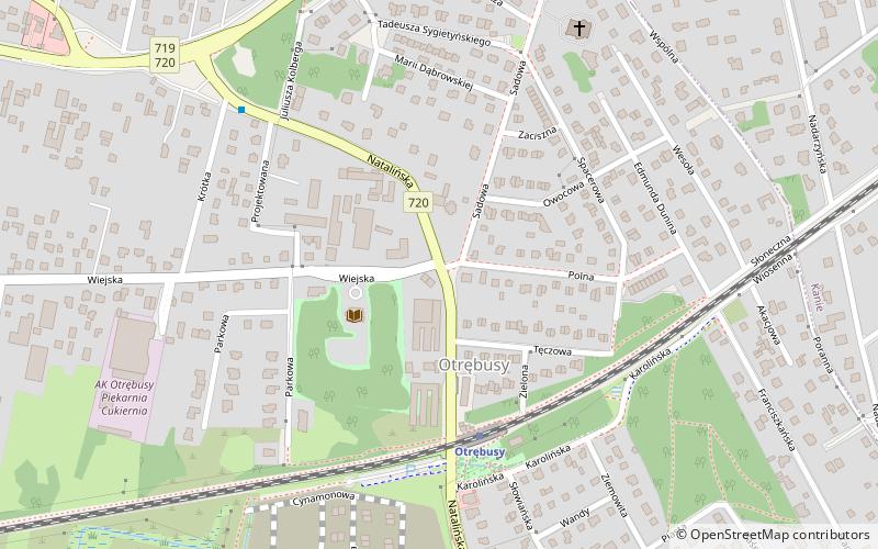
Map
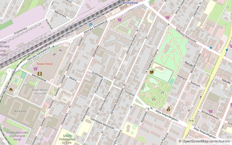
Map
Facts and practical information
"Our House" educational institution - an institution for the care and upbringing of children established on November 15, 1919 in Pruszkow.
Day trips