Lisbon Baixa, Lisbon
Map

Gallery

Facts and practical information
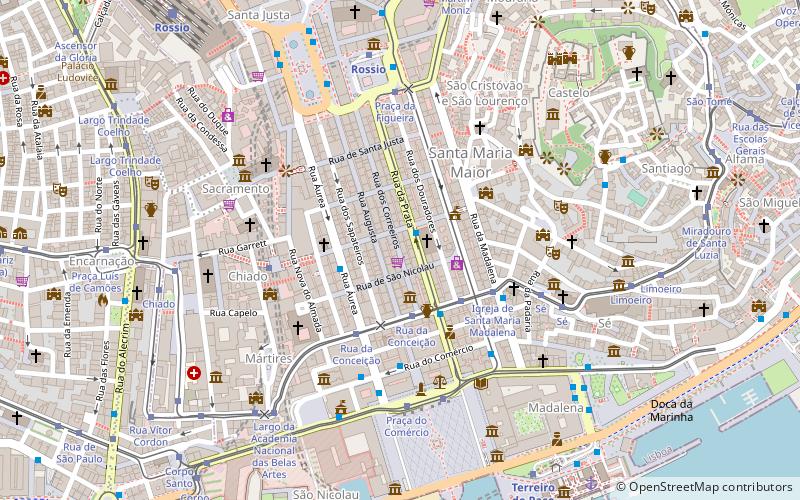
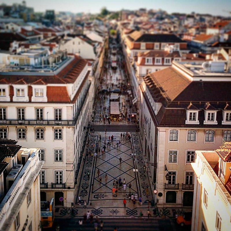
The Baixa, also known as the Baixa Pombalina is a neighborhood in the historic center of Lisbon, Portugal. It consists of the grid of streets north of the Praça do Comércio, roughly between the Cais do Sodré and the Alfama district beneath the Lisbon Castle, and extends northwards towards the Rossio and Figueira squares and the Avenida da Liberdade, a tree-lined boulevard noted for its tailoring shops and cafes. ()
Address
Santa Maria Maior (São Nicolau)Lisbon
ContactAdd
Social media
Add
Day trips
Lisbon Baixa – popular in the area (distance from the attraction)
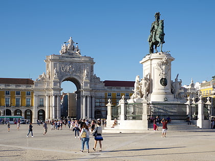
Nearby attractions include: Arco da Rua Augusta, Elevador de Santa Justa, São Jorge Castle, Carmo Convent.
Frequently Asked Questions (FAQ)
Which popular attractions are close to Lisbon Baixa?
Nearby attractions include Museu do Design e da Moda, Lisbon (3 min walk), Igreja da Madalena, Lisbon (4 min walk), Elevador de Santa Justa, Lisbon (4 min walk), Palace of the Counts of Penafiel, Lisbon (4 min walk).
How to get to Lisbon Baixa by public transport?
The nearest stations to Lisbon Baixa:
Bus
Tram
Metro
Train
Ferry
Bus
- Rua da Prata • Lines: 711, 759 (1 min walk)
- Rua do Ouro • Lines: 711, 732, 736, 759, 794 (2 min walk)
Tram
- Rua da Conceição • Lines: 28E (3 min walk)
- Rua da Conceição / Rua dos Fanqueiros • Lines: 12E (3 min walk)
Metro
- Baixa-Chiado • Lines: Azul, Verde (4 min walk)
- Rossio • Lines: Verde (6 min walk)
Train
- Rossio (10 min walk)
- Cais do Sodré (15 min walk)
Ferry
- Cais do Sodré • Lines: Ferries da Transtejo (17 min walk)

 Metro
Metro


