Aiguilles Rouges d'Arolla
Map

Map

Facts and practical information
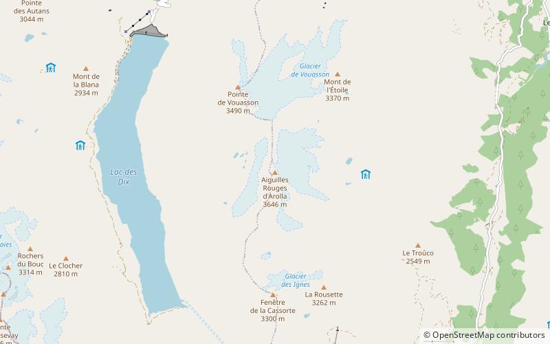
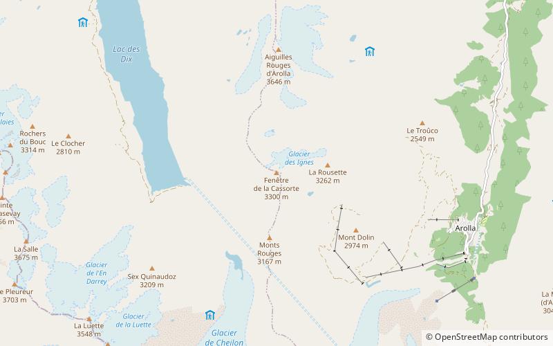
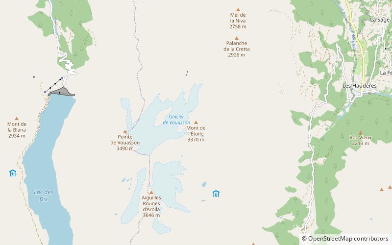
The Aiguilles Rouges d'Arolla are a multi-summited mountain of the Swiss Pennine Alps, located west of Arolla in the canton of Valais. The main summit has an elevation of 3,646 metres above sea level. ()
Local name: Aiguilles Rouges d’Arolla First ascent: 1870Elevation: 11962 ftProminence: 2595 ftCoordinates: 46°3'24"N, 7°26'5"E
Location
Valais
ContactAdd
Social media
Add
Day trips
Aiguilles Rouges d'Arolla – popular in the area (distance from the attraction)
Nearby attractions include: Mont Blanc de Cheilon, Pigne d'Arolla, Grande Dixence Dam, Aiguille de la Tsa.


