Sazmartinshorn
Map

Map

Facts and practical information
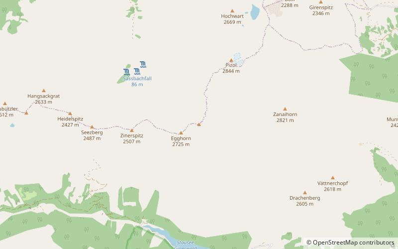
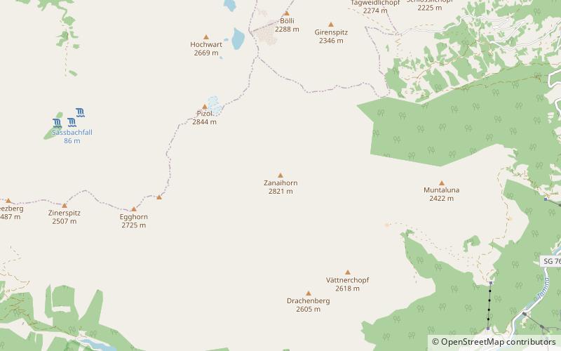
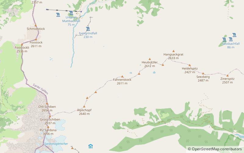
The Sazmartinshorn is a mountain of the Glarus Alps, overlooking St. Martin and the lake of Gigerwald in the canton of St. Gallen. It lies on the range east of Piz Sardona, that separates the Weisstannental from the Calfeisental. After the Pizol, the Sazmartinshorn is the second highest mountain lying entirely within the canton of St. Gallen. ()
Elevation: 9275 ftProminence: 784 ftCoordinates: 46°56'38"N, 9°22'32"E
Location
Sankt Gallen
ContactAdd
Social media
Add
Day trips
Sazmartinshorn – popular in the area (distance from the attraction)
Nearby attractions include: Calanda Mountain, Freudenberg Castle, Gigerwaldsee, Stausee Mapragg.


