Fahnenstock
#1969 among destinations in Switzerland

Facts and practical information
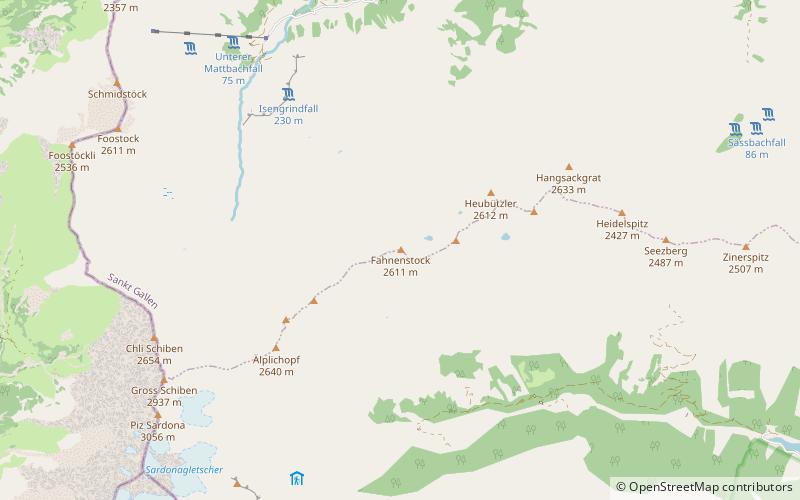
The Fahnenstock is a mountain of the Glarus Alps, located south of Weisstannen in the canton of St. Gallen. ()
Sankt GallenSwitzerland
Fahnenstock – popular in the area (distance from the attraction)
Nearby attractions include: Gigerwaldsee, Pizol, Piz Dolf, Ringelspitz.
 Nature, Natural attraction, Lake
Gigerwaldsee
114 min walk • Gigerwaldsee is a reservoir in the municipality of Pfäfers, in the Canton of St. Gallen, Switzerland. The reservoir has a volume of 35.6 million m³ and a surface area of 71 ha. The arch dam Gigerwald was completed in 1976. It has a height of 147 m.
 Nature, Natural attraction, Mountain
Pizol
117 min walk • The Pizol is a mountain in the Glarus Alps of northeastern Switzerland, overlooking Wangs in the canton of St. Gallen. At 2,844 metres above sea level, it is the highest summit of the chain separating the valleys of the Seez and the Tamina rivers, and the highest mountain lying entirely within the canton of St.
 Nature, Natural attraction, Mountain
Piz Dolf
76 min walk • Piz Dolf or Trinserhorn is a mountain of the Glarus Alps, located on the border between the cantons of St. Gallen and Graubünden. Piz Sardona is to the north across a glacier, and to its west Piz Segnas. Both Piz Segnas and Piz Dolf show the line of the Glarus thrust in its upper part.
 Nature, Natural attraction, Mountain
Ringelspitz
98 min walk • The Ringelspitz is a mountain of the Glarus Alps, located on the border between the Swiss cantons of St. Gallen and Graubünden. Reaching a height of 3,248 metres above sea level, it is the highest summit in the canton of St. Gallen. It is split between three municipalities: Pfäfers, Trin and Tamins.
 Nature, Natural attraction, Mountain
Laaxer Stöckli
150 min walk • The Laaxer Stöckli is a 2,898 metre-high mountain of the Glarus Alps, located on the border between the cantons of Glarus and Graubünden in Eastern Switzerland. It lies approximately halfway between the Vorab and Piz Segnas.
 Nature, Natural attraction, Lake
Schwarzsee
145 min walk • Schwarzsee is a mountain lake at an elevation of 2368 m on the Pizol mountain of the Glarus Alps.
 Nature, Natural attraction, Mountain
Piz Sardona
64 min walk • Piz Sardona is a mountain in the Glarus Alps, on the border between the cantons Glarus and St. Gallen. The 3,056 metre high mountain overlooks the valleys of Elm and Calfeisen.
 Nature, Natural attraction, Mountain
Piz Segnas
89 min walk • Piz Segnas is a mountain in the Glarus Alps, located on the border between the cantons of Glarus and Graubünden. Piz Sardona is on the same ridge to the north, from where the Trinserhorn or Piz Dolf lies to the southeast.
 Nature, Natural attraction, Mountain
Tschingelhörner
116 min walk • The Tschingelhörner are a chain of mountain peaks in the Glarus Alps, located on the border between the Swiss cantons of Glarus and Graubünden. They are composed of several summits on a 1 km long ridge, of which the highest is named Grosses Tschingelhorn. The mountain is located between Elm and Flims, west of the Segnas Pass.
 Nature, Natural attraction, Mountain
Sazmartinshorn
100 min walk • The Sazmartinshorn is a mountain of the Glarus Alps, overlooking St. Martin and the lake of Gigerwald in the canton of St. Gallen. It lies on the range east of Piz Sardona, that separates the Weisstannental from the Calfeisental. After the Pizol, the Sazmartinshorn is the second highest mountain lying entirely within the canton of St.
 Nature, Natural attraction, Mountain
Zanaihorn
136 min walk • The Zanaihorn is a mountain of the Glarus Alps, located north of Vättis in the canton of St. Gallen. It lies on the range east of the Pizol, between the valleys of the Zanaibach and the Tersolbach.