Aberdeen: Neighbourhood
Places and attractions in the Neighbourhood category
Categories
- Park
- Church
- Museum
- Bridge
- Shopping
- Garden
- Sport
- Sport venue
- Shopping centre
- Golf
- Street
- Sacred and religious sites
- Concerts and shows
- Theater
- Universities and schools
- Memorial
- Neighbourhood
Footdee
Footdee is an area of Aberdeen, Scotland known locally by its Scots language name of Fittie. It is an old fishing village at the east end of Aberdeen Harbour. The name is actually folk etymology.
Old Aberdeen
Old Aberdeen is part of the city of Aberdeen in Scotland. Old Aberdeen was originally a separate burgh, which was erected into a burgh of barony on 26 December 1489. It was incorporated into adjacent Aberdeen by Act of Parliament in 1891. It retains the status of a community council area.
Foresterhill
Foresterhill is an area in the city of Aberdeen, Scotland. It is the site of the city's main hospitals, as well as the medical school and medical science departments of the University of Aberdeen. It is the largest hospital complex in Europe.
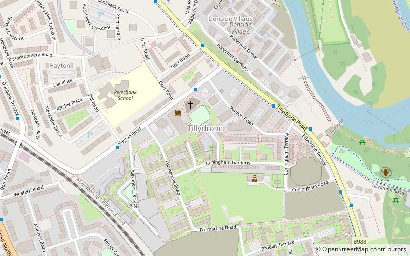
Tillydrone
Tillydrone is an area of the city of Aberdeen, Scotland. Lying north of the city centre and slightly north-west of Old Aberdeen, it is roughly bounded by the River Don, St Machar Drive, and the main Aberdeen-Inverness railway line.
Danestone
Danestone is a small, village-like area of Aberdeen, Scotland and is part of the suburb of Bridge of Don. Located north-west of Aberdeen City Centre, Danestone is a relatively new area of Aberdeen.
Mannofield
Mannofield is an affluent area of Aberdeen, Scotland. It is situated in the west end of the city and is accessible by travelling through the A93 Aberdeen - Perth road, the A90 Edinburgh to Fraserburgh road and the A96.
Balnagask
Balnagask is an area of Torry, a burgh of Aberdeen in Scotland. Balnagask is said to mean "the village in the hollow" in Gaelic. The Balnagask Estate stretched from the golf course to the fields that overlooked both the Bay of Nigg and the railway line.
Rubislaw
Rubislaw is an area of Aberdeen, Scotland. It is located in the area between Queen's Road and King’s Gate, including Rubislaw Den North and South. It is close to Rubislaw Quarry and the Rubislaw Playing Fields used by Aberdeen Grammar School. The buildings of the area are primarily Victorian or 1930s.
Tullos
Tullos is an area of Aberdeen, Scotland. The area takes its name from the Vale of Tullos, which lies between Tullos Hill and Torry Hill. Tullos derived its name from a corruption of the Gaelic ‘Tulach’ meaning a hill.
Rubislaw quarry
Rubislaw Quarry is a quarry situated at the Hill of Rubislaw in the west end of the Scottish city of Aberdeen. At 142m deep with a diameter of 120m, Rubislaw Quarry is one of the biggest man-made holes in Europe.
Cornhill
Cornhill is an area of Aberdeen, Scotland. At the west there is a bar, the small Cornhill Shopping Centre whose main store is a supermarket, to the south it stretches as far as Forresterhill Hospital and to the east its area covers as far as Ashgrove.
Craigiebuckler
Craigiebuckler is a residential area of Aberdeen, Scotland. It is around 2 miles south west of the city centre. The local schools are Hazlehead Primary School and Hazlehead Academy.
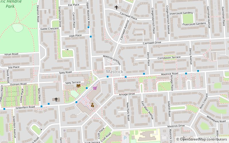
Mastrick
Mastrick is an area of Aberdeen, Scotland, located on the western fringes of the city around 2.5 miles from the city centre. It currently has a population of 7,365 and an unemployment rate of 1.6%.
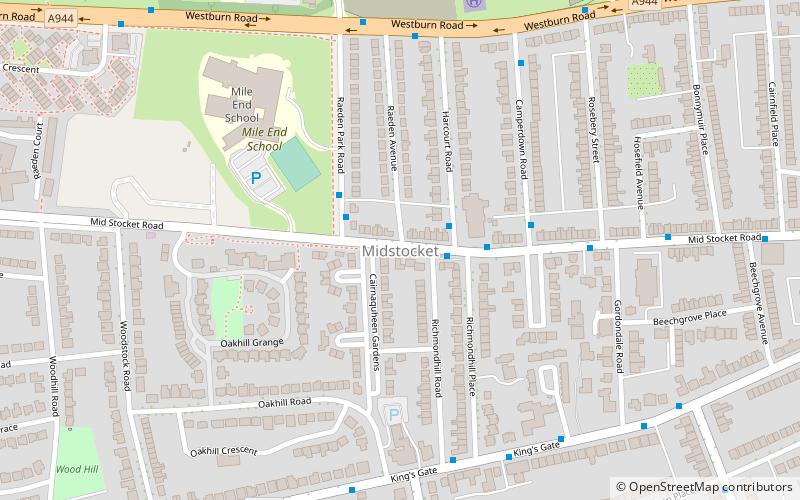
Midstocket
Midstocket is an area of Aberdeen, Scotland. It is named after the Forest of Stocket, which was a gift from Robert the Bruce to the people of Aberdeen in 1319. The income from the forests land formed Aberdeen's Common Good Fund.
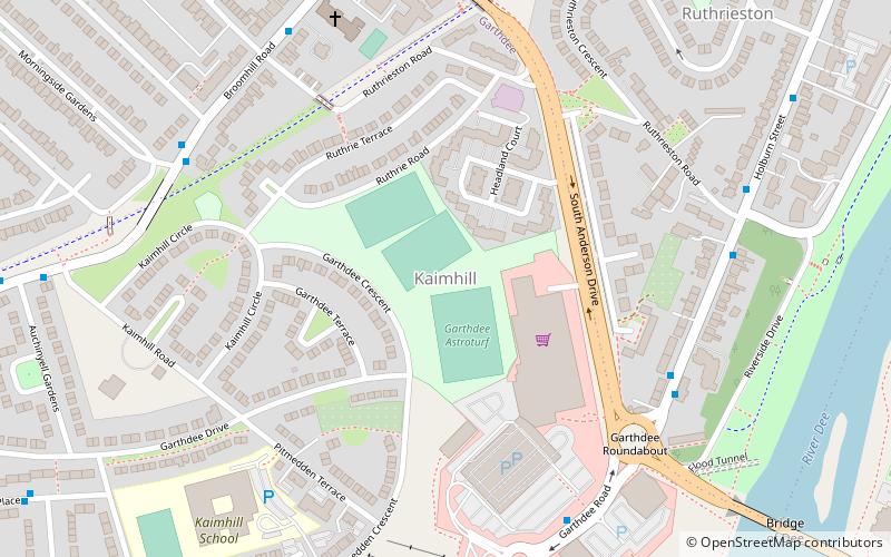
Kaimhill
Kaimhill is a district in Aberdeen, Scotland. Its post code is AB10. Children attend Kaimhill Primary School and Harlaw Academy.
Map


