Derwent Edge, Peak District
Map
Gallery
Facts and practical information
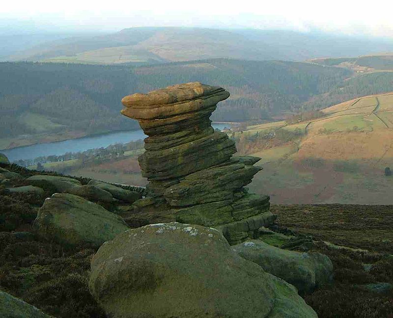
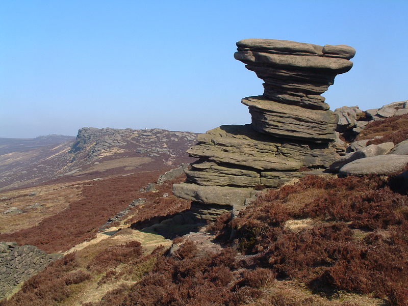
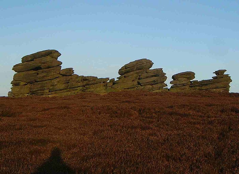
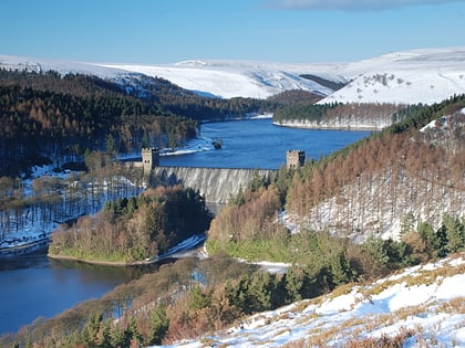
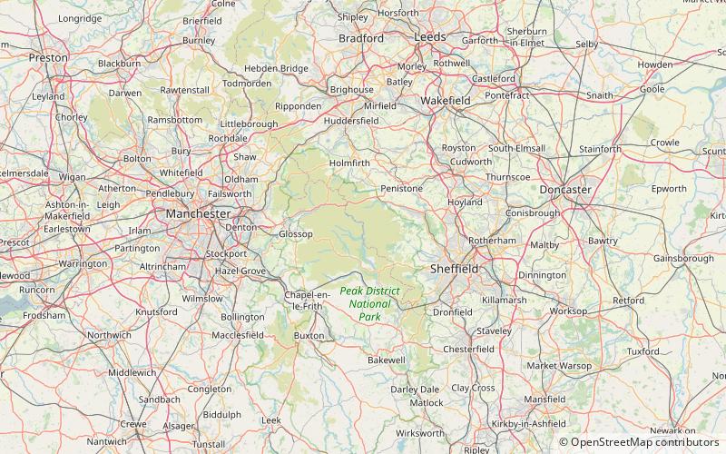
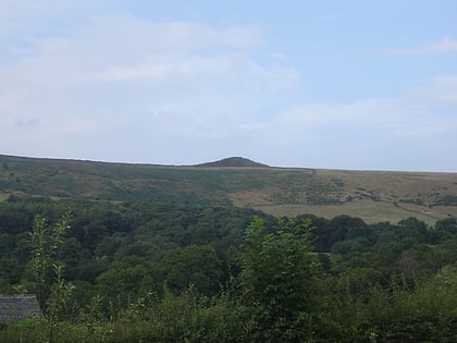
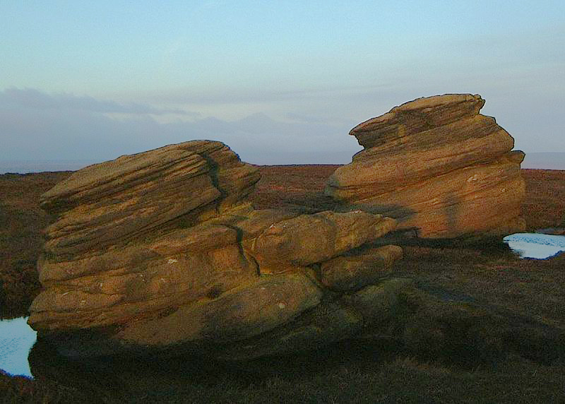
Derwent Edge is a Millstone Grit escarpment that lies above the Upper Derwent Valley in the Peak District National Park in the English county of Derbyshire. An Ordnance Survey column marks the highest point of the Edge at Back Tor. North of Back Tor the edge extends into Howden Edge and enters the county of South Yorkshire. ()
Elevation: 1765 ftProminence: 220 ftCoordinates: 53°24'55"N, 1°42'15"W
Address
Peak District
ContactAdd
Social media
Add
Day trips
Derwent Edge – popular in the area (distance from the attraction)
Nearby attractions include: Pennine Way, Blue John Cavern, Mam Tor, Derwent Reservoir.


