Lost Lad, Peak District
#100 among attractions in Peak District
Facts and practical information
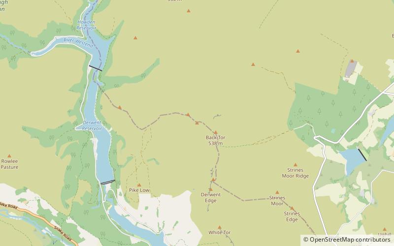
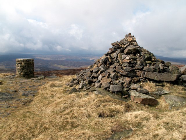
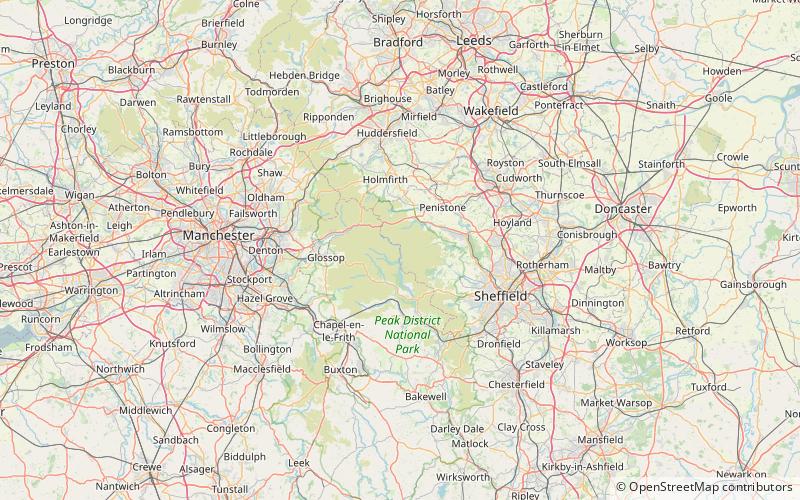
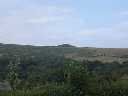
Lost Lad is a hill, 518 metres high on the Derwent Edge in the Peak District in the county of Derbyshire in England. It is a subpeak of Back Tor. ()
Peak District United Kingdom
Lost Lad – popular in the area (distance from the attraction)
Nearby attractions include: Pennine Way, Blue John Cavern, Mam Tor, Derwent Reservoir.
 Hiking, Hiking trail
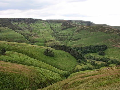
Pennine Way, Edale
145 min walk • The Pennine Way is a National Trail in England, with a small section in Scotland. The trail stretches for 268 miles from Edale, in the northern Derbyshire Peak District, north through the Yorkshire Dales and Northumberland National Park and ends at Kirk Yetholm, just inside the Scottish border.
 Nature, Natural attraction, Cave
Blue John Cavern, Castleton
160 min walk • The Blue John Cavern is one of the four show caves in Castleton, Derbyshire, England.
 Hiking trail, Outdoor activities, Park
Mam Tor, Castleton
159 min walk • Mam Tor is a 517 m hill near Castleton in the High Peak of Derbyshire, England. Its name means "mother hill", so called because frequent landslips on its eastern face have resulted in a multitude of "mini-hills" beneath it.
 Nature, Natural attraction, Lake
Derwent Reservoir, Peak District
37 min walk • Derwent Reservoir is the middle of three reservoirs in the Upper Derwent Valley in the north of Derbyshire, England. It lies approximately 10 miles from Glossop and 10 miles from Sheffield.
 Waterway for scenic walks and hikes
Ladybower Reservoir, Peak District
67 min walk • Ladybower Reservoir is a large Y-shaped, artificial reservoir, the lowest of three in the Upper Derwent Valley in Derbyshire, England.
 Nature, Natural attraction, Lake
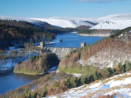
Howden Reservoir, Peak District
51 min walk • The Howden Reservoir is a Y-shaped reservoir, the uppermost of the three in the Upper Derwent Valley, England. The western half of the reservoir lies in Derbyshire and the eastern half is in Sheffield, South Yorkshire; the county border runs through the middle of the reservoir, following the original path of the River Derwent.
 Bridge
Derwent Bridge, Peak District
76 min walk • Derwent was a village 'drowned' in 1944 when the Ladybower Reservoir in Derbyshire, England was created. The village of Ashopton, Derwent Woodlands church and Derwent Hall were also 'drowned' in the construction of the reservoir.
 Nature, Natural attraction, Mountain
Win Hill, Peak District
98 min walk • Win Hill is a hill north west of Bamford in the Derbyshire Peak District of England. Its summit is 462 m above sea level and it is bounded by the River Derwent to the east, the River Noe to the south west and Ladybower Reservoir to the north, with a ridge running north west linking it to Kinder Scout.
 Nature, Natural attraction, Hill
Derwent Edge, Peak District
8 min walk • Derwent Edge is a Millstone Grit escarpment that lies above the Upper Derwent Valley in the Peak District National Park in the English county of Derbyshire. An Ordnance Survey column marks the highest point of the Edge at Back Tor. North of Back Tor the edge extends into Howden Edge and enters the county of South Yorkshire.
 Nature, Natural attraction, Cliff
Bamford Edge, Peak District
97 min walk • Bamford Edge is an overhang of gritstone rock that sticks out north of the village of Bamford, Hope Valley, in the English county of Derbyshire. The first ascent of "Smoked Salmon", which is graded as E8 7b was made by British climber Johnny Dawes.
 Nature, Natural attraction, Mountain
Crook Hill, Peak District
71 min walk • Crook Hill is a small hill in the Peak District National Park in the English county of Derbyshire, 5 kilometres northeast of Castleton.
