Smethwick Old Church, Birmingham
Map
Gallery
Facts and practical information
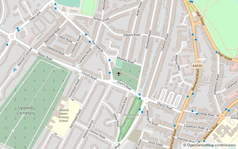
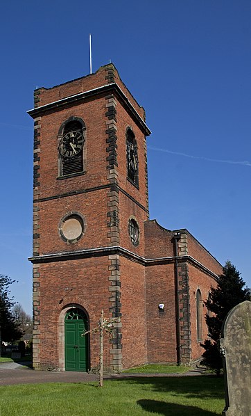
Smethwick Old Church is an Anglican parish church, located in the town of Smethwick, West Midlands. It is located on the junction of The Uplands and Church Road, adjacent to the Dorothy Parkes Community Centre and the 18th-century Old Chapel Public House. ()
Coordinates: 52°29'12"N, 1°58'19"W
Address
2 The UplandsSandwell (Smethwick)Birmingham B67 6EQ
Contact
+44 121 565 2048
Social media
Add
Day trips
Smethwick Old Church – popular in the area (distance from the attraction)
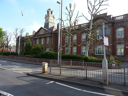
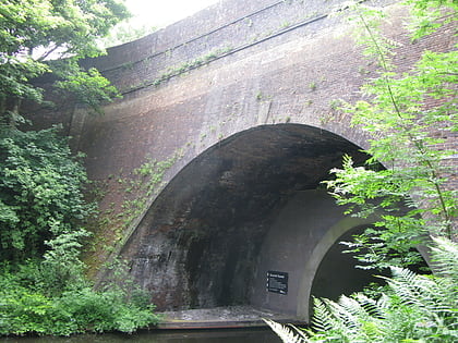
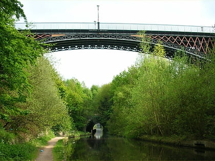
Nearby attractions include: Warley Woods, Smethwick Council House, Summit Bridge, Smethwick.
Frequently Asked Questions (FAQ)
Which popular attractions are close to Smethwick Old Church?
Nearby attractions include Smethwick Council House (9 min walk), Thimblemill Library (11 min walk), Guru Nanak Gurdwara Smethwick, Birmingham (17 min walk), Smethwick, Birmingham (17 min walk).
How to get to Smethwick Old Church by public transport?
The nearest stations to Smethwick Old Church:
Bus
Train
Tram
Bus
- Rolfe St / Rolfe St Station • Lines: Sb (17 min walk)
- Bv • Lines: 400, X8 (27 min walk)
Train
- Smethwick Rolfe Street (18 min walk)
- Smethwick Galton Bridge (29 min walk)
Tram
- Handsworth, Booth Street • Lines: 1 (35 min walk)


