Croydon, London
Map
Gallery
Facts and practical information
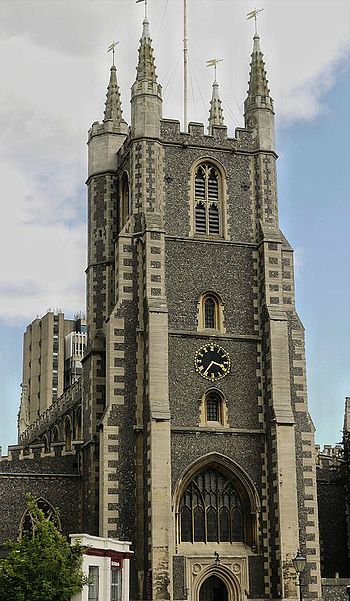
Croydon is a large town in South London, England that gives its name to the London Borough of Croydon. It is one of the largest commercial districts in Greater London, with an extensive shopping district and night-time economy. The entire town had a population of 192,064 as of 2011, whilst the wider borough had a population of 384,837. It is 9.4 miles south of Charing Cross. ()
Address
Croydon (Fairfield)London
ContactAdd
Social media
Add
Day trips
Croydon – popular in the area (distance from the attraction)
Nearby attractions include: St George's Walk, Whitgift Centre, Centrale, Queen's Gardens.
Frequently Asked Questions (FAQ)
Which popular attractions are close to Croydon?
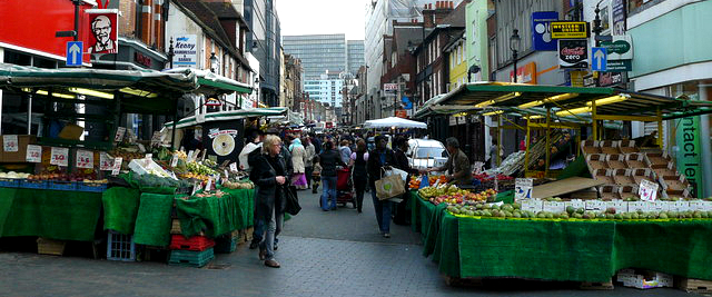
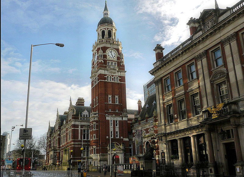
Nearby attractions include Surrey Street Market, London (1 min walk), The Spread Eagle Theatre, Warlingham (3 min walk), Croydon Clocktower, London (3 min walk), Croydon Cenotaph, Warlingham (3 min walk).
How to get to Croydon by public transport?
The nearest stations to Croydon:
Tram
Bus
Train
Tram
- Church Street • Lines: 2, 3, 4 (4 min walk)
- George Street • Lines: 2, 3, 4 (4 min walk)
Bus
- Church Street Tram Stop • Lines: 157, 264, 407, 410, 455, 645 (4 min walk)
- Croydon Flyover • Lines: 119, 166, 312, 405, 407, 412, 455, 466, 468, 60, 645, N68 (5 min walk)
Train
- West Croydon (11 min walk)
- East Croydon (12 min walk)



 Tube
Tube


