Southampton: Neighbourhood
Places and attractions in the Neighbourhood category
Categories
- Church
- Park
- Museum
- Historical place
- Area
- History museum
- Bridge
- Shopping
- Specialty museum
- Reportedly haunted
- Gothic Revival architecture
- Village
- Concerts and shows
- Theater
- Library
- Neighbourhood
Highfield
Highfield is a suburb of Southampton, England. The suburb is situated to the north of the city centre, and is bounded by Southampton Common, Bassett, Swaythling and Portswood.
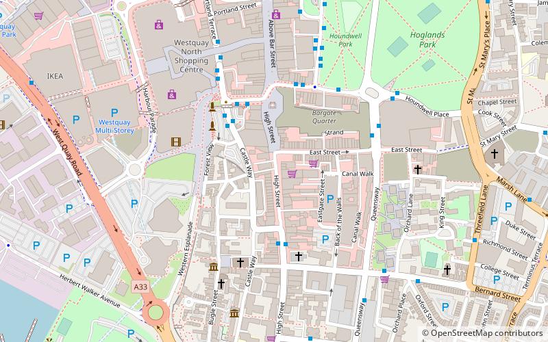
Southampton City Centre
Southampton City Centre is the commercial and organisational centre of the City of Southampton, and the transport hub of the city.
Midanbury
Midanbury is a small suburb of Southampton, England, bordering Bitterne, Bitterne Park and Townhill Park.
The Polygon
The Polygon is an area in the city of Southampton, England. The area is located north of the Western Esplanade, Commercial Road and Cumberland Place; east of Hill Lane; south of Archers Road; and west of Dorset street and The Avenue.
Bevois Valley
Bevois Valley is an inner city area of Southampton, England, within Bevois Electoral Ward, and includes areas called Bevois Town and Bevois Mount. The area lies south of and adjoins Portswood and is within easy walking distance of the city centre.
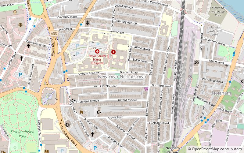
Nicholstown
Nicholstown-Newtown is a small area to the north-east of Southampton's city centre. To the north is Bevois Valley, to the east Northam and to the west and south is St Mary's.
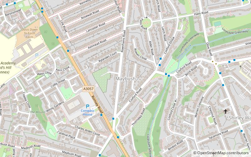
Maybush
Maybush is a district in the city of Southampton, England. Located in the western side of the city, Maybush is the former location of the Ordnance Survey head office and approximately occupies the SU3814 kilometer square.
St Denys
St Denys is a partially riverside district of Southampton, England, centred 1.5 miles north north-east of the city centre facing variously Bitterne Park and quay across the River Itchen estuary.
Map


