Bamford Edge, Peak District
Map

Map

Facts and practical information
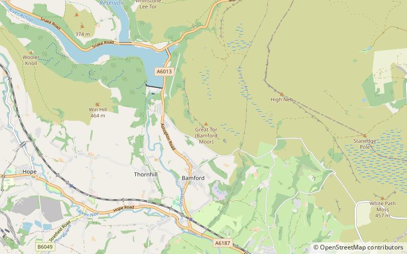
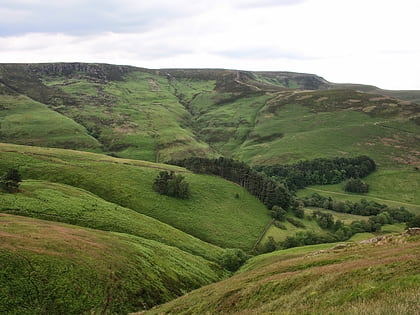
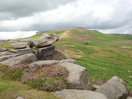
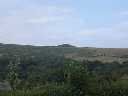
Bamford Edge is an overhang of gritstone rock that sticks out north of the village of Bamford, Hope Valley, in the English county of Derbyshire. The first ascent of "Smoked Salmon", which is graded as E8 7b was made by British climber Johnny Dawes. ()
Coordinates: 53°21'28"N, 1°41'6"W
Day trips
Bamford Edge – popular in the area (distance from the attraction)
Nearby attractions include: Pennine Way, Blue John Cavern, Mam Tor, Stanage Edge.
Frequently Asked Questions (FAQ)
Which popular attractions are close to Bamford Edge?
Nearby attractions include Bamford Edge, Peak District (13 min walk), St John the Baptist's Church, Peak District (20 min walk).
How to get to Bamford Edge by public transport?
The nearest stations to Bamford Edge:
Bus
Bus
- Bamford • Lines: 257 (14 min walk)
- Bamford/Old Road • Lines: 257 (13 min walk)


