Farme Castle, Glasgow
Map
Facts and practical information
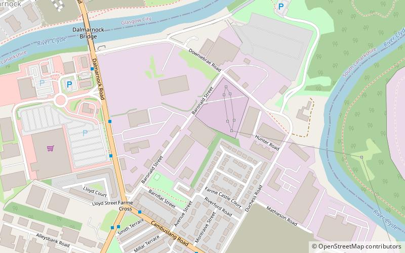
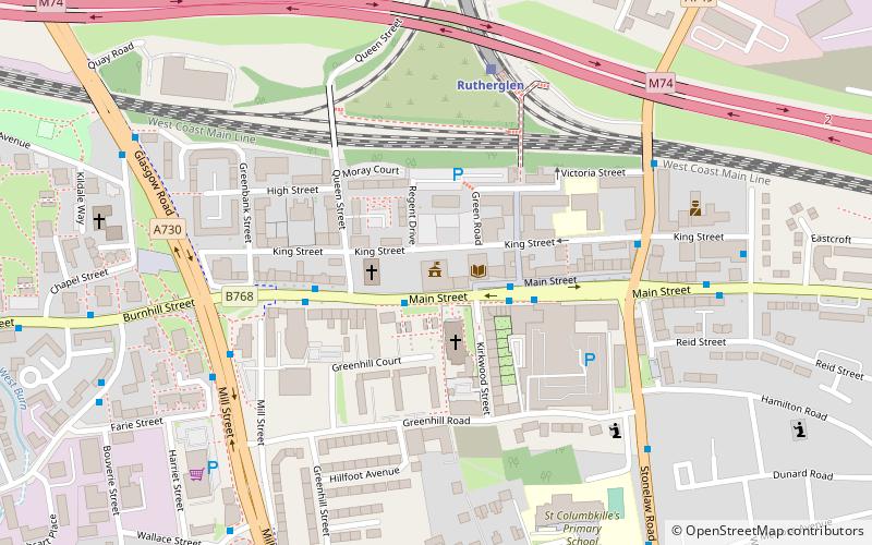
Farme Castle was located in Rutherglen, to the south-east of Glasgow, Scotland. It stood 0.5 miles east of Farme Cross where the A724 meets the A749 trunk road. The castle keep acted as one corner of a courtyard, formed by an extension in the form of a castellated mansion. High walls and subsidiary buildings completed the courtyard. There was an ornate arched gateway to the courtyard adjacent to the keep. The old keep was of three storeys and a garret, above a corbelled-out parapet with machicolations and water spouts. ()
Address
Glasgow
ContactAdd
Social media
Add
Getting there by public transportation
Public transportation stops near this location
- Bus
- Train
 Bus
Bus
- Calculate routeRutherglen 12 min walk
- Calculate routeDalmarnock 19 min walk
- Calculate routeBridgeton 31 min walk
- Calculate routeCroftfoot 38 min walk
- Calculate routeRutherglen Cross 13 min walk
- Calculate routeCastle Street 15 min walk
- Calculate routeStonelaw Road 18 min walk
Day trips


Frequently Asked Questions (FAQ)
Which popular attractions are close to Farme Castle?
Nearby attractions include Cuningar Loop, Glasgow (10 min walk), Dalmarnock, Glasgow (15 min walk), Rutherglen Town Hall, Glasgow (15 min walk), Rutherglen, Glasgow (16 min walk).
How to get to Farme Castle by public transport?
The nearest stations to Farme Castle:
Train
Bus
Train
- Rutherglen (12 min walk)
- Dalmarnock (19 min walk)
Bus
- Rutherglen Cross • Lines: 14 (13 min walk)
- Castle Street • Lines: 14 (15 min walk)