West Newlandside Meadows, North Pennines
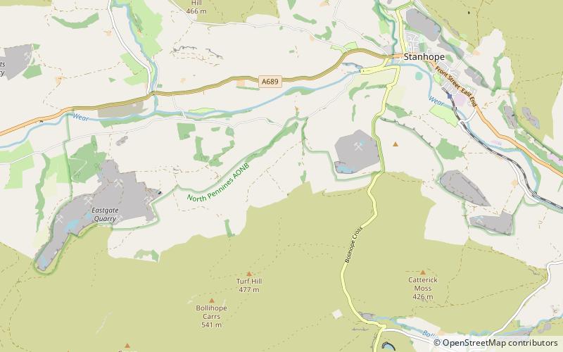
Map
Facts and practical information
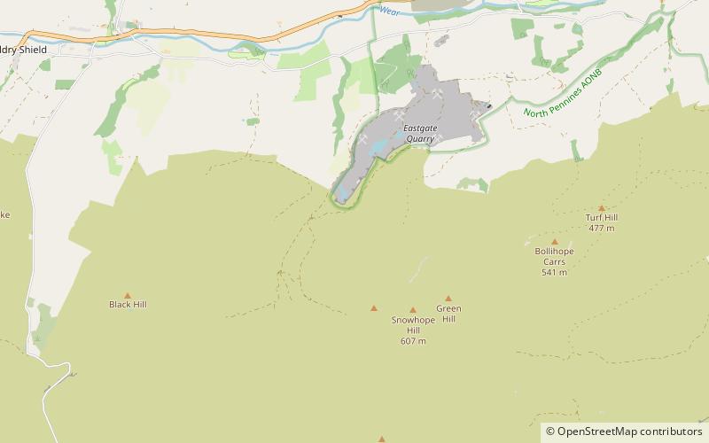
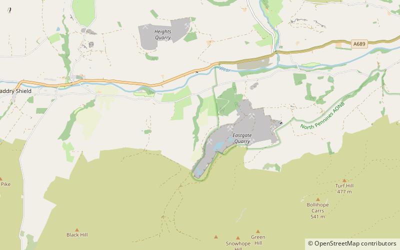
West Newlandside Meadows is a Site of Special Scientific Interest in the Wear Valley district of County Durham, England. It lies 3 km south-west of the village of Stanhope. ()
Coordinates: 54°43'55"N, 2°2'39"W
Address
North Pennines
ContactAdd
Social media
Add
Day trips
West Newlandside Meadows – popular in the area (distance from the attraction)
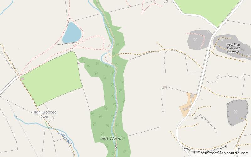
Nearby attractions include: Slit Woods, Fairy Holes Cave, Smiddy Shaw Reservoir, Westernhope Burn Wood.
