Paddington Meadows, Warrington

Gallery (1)
Map
Map
Facts and practical information
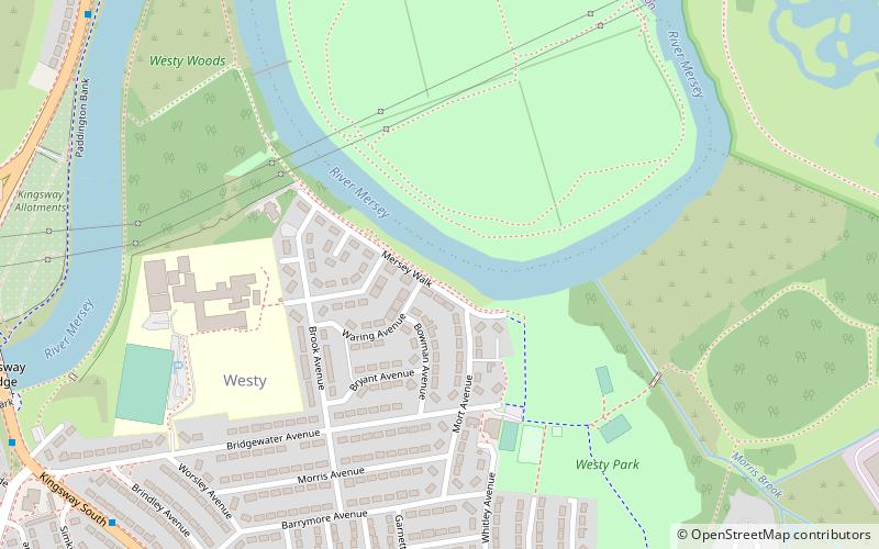
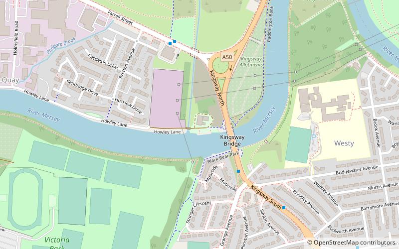
Paddington Meadows is a Local Nature Reserve in Warrington, Cheshire. The land was donated to Warrington Borough council in 1995. It was designated in November 2005. ()
Elevation: 30 ft a.s.l.Coordinates: 53°23'20"N, 2°33'25"W
Address
Warrington
ContactAdd
Social media
Add
Getting there by public transportation
Public transportation stops near this location
- Bus
- Train
 Bus
Bus
- Calculate routeGreenway 16 min walk
- Calculate routeDog & Partridge 17 min walk
- Calculate routeBruche Bridge 17 min walk
- Calculate routeAlford Hall 17 min walk
- Calculate routePadgate 30 min walk
Day trips


Frequently Asked Questions (FAQ)
How to get to Paddington Meadows by public transport?
The nearest stations to Paddington Meadows:
Bus
Train
Bus
- Greenway • Lines: 100, 3 (16 min walk)
- Dog & Partridge • Lines: 100, 3 (17 min walk)
Train
- Padgate (30 min walk)