Ranmore Common SSSI, Dorking

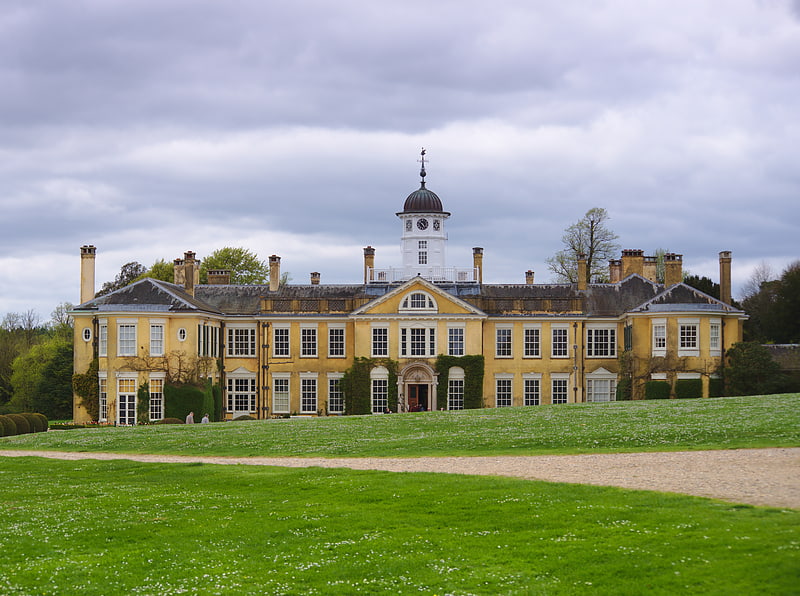
Gallery (1)
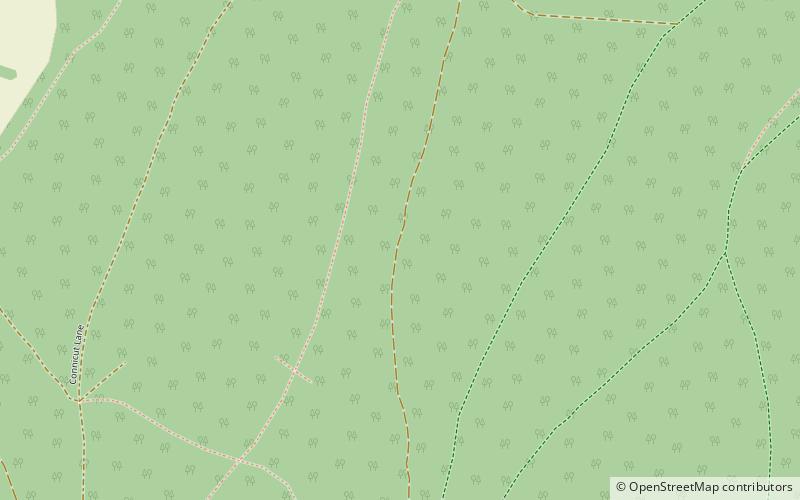
Map
Map
Facts and practical information
Ranmore Common SSSI is a 224.3-hectare biological Site of Special Scientific Interest in Ranmore Common, north-west of Dorking in Surrey. ()
Coordinates: 51°14'48"N, 0°22'12"W
Address
Dorking
ContactAdd
Social media
Add
Getting there by public transportation
Public transportation stops near this location
- Bus
 Bus
Bus
- Calculate routeSondes Place Drive 41 min walk
Day trips


Frequently Asked Questions (FAQ)
How to get to Ranmore Common SSSI by public transport?
The nearest stations to Ranmore Common SSSI:
Bus
Bus
- Sondes Place Drive • Lines: 22, 32 (41 min walk)