Wraysbury and Hythe End Gravel Pits, Wraysbury
Map
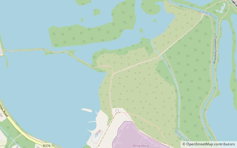
Map

Facts and practical information
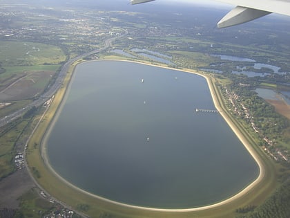
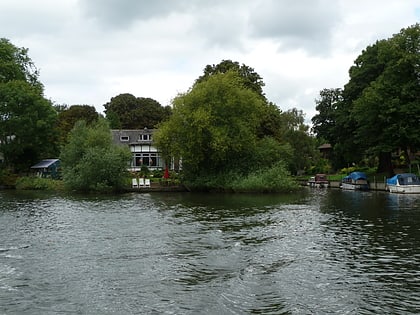
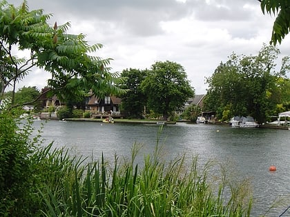
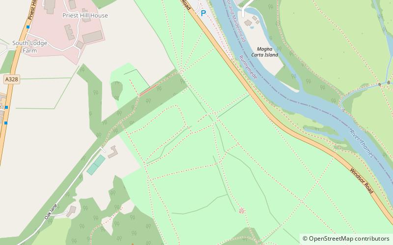
Wraysbury and Hythe End Gravel Pits is a 117.2-hectare biological Site of Special Scientific Interest in Wraysbury in Berkshire. It is part of South West London Waterbodies Ramsar site and Special Protection Area. ()
Area: 0.45 mi²Coordinates: 51°27'4"N, 0°32'42"W
Address
Wraysbury
ContactAdd
Social media
Add
Day trips
Wraysbury and Hythe End Gravel Pits – popular in the area (distance from the attraction)
Nearby attractions include: Runnymede, Air Forces Memorial, St. Mary's Church, Staines Bridge.
Frequently Asked Questions (FAQ)
Which popular attractions are close to Wraysbury and Hythe End Gravel Pits?
Nearby attractions include The Island, Egham (17 min walk), Ankerwycke Yew, Egham (17 min walk).


