Mile End Park, London
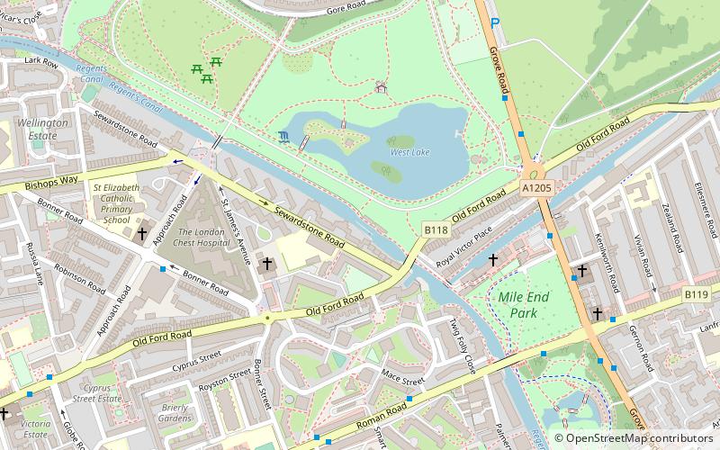
Map
Gallery
Facts and practical information
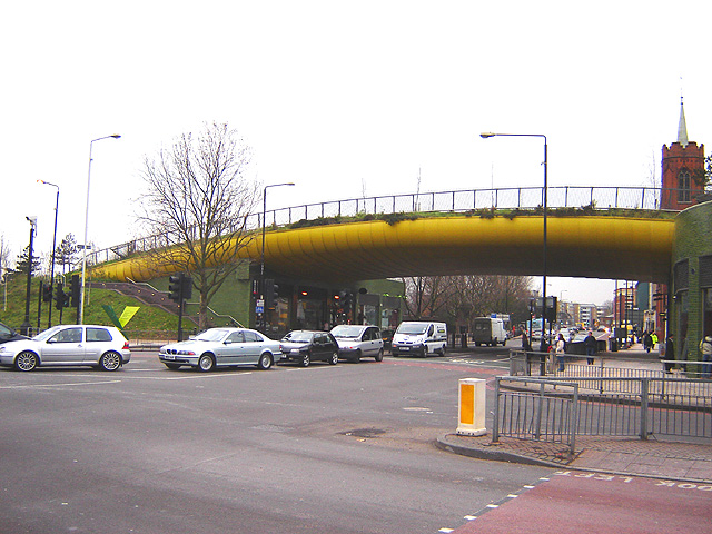
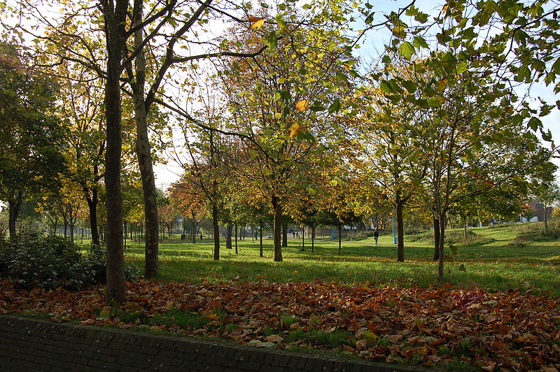
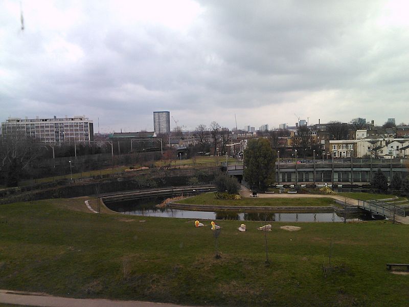
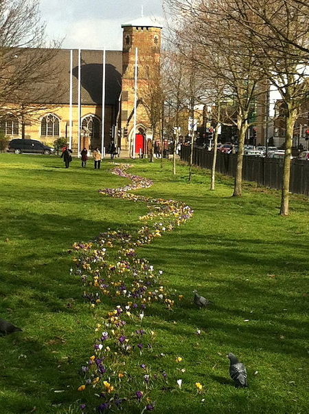
Mile End Park is a park located in the London Borough of Tower Hamlets. It is a linear park of some 32 hectares, and was created on industrial land devastated by World War II bombing. Some of the park is within Limehouse and Globe Town, with the park lying on land to the east of the Regent's Canal. In the north, it is separated from the southern edge of Victoria Park by the Hertford Union Canal. It is open 24 hours a day. ()
Day trips
Mile End Park – popular in the area (distance from the attraction)
Nearby attractions include: Limehouse Basin, The Guardian Angels Church, Troxy, Mile End Lock.
Frequently Asked Questions (FAQ)
Which popular attractions are close to Mile End Park?
Nearby attractions include The Guardian Angels Church, London (4 min walk), Mile End Lock, London (5 min walk), Ragged School Museum, London (8 min walk), Tredegar Square, London (9 min walk).
How to get to Mile End Park by public transport?
The nearest stations to Mile End Park:
Bus
Metro
Train
Light rail
Bus
- Mile End Station • Lines: 075, 277, 323, 425, D6, D7, N277 (5 min walk)
- Bow Common Lane • Lines: D6 (3 min walk)
Metro
- Mile End • Lines: Central, District, Hammersmith & City (6 min walk)
- Stepney Green • Lines: District, Hammersmith & City (12 min walk)
Train
- Limehouse (18 min walk)
- Bethnal Green (26 min walk)
Light rail
- Limehouse Platform 3 • Lines: B-L, B-Wa, Tg-B (19 min walk)
- Bow Church Platform 1 • Lines: S-L (19 min walk)



 Tube
Tube


