Far High House Meadows, North Pennines

Map
Facts and practical information
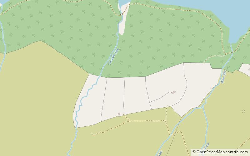
Far High House Meadows is a Site of Special Scientific Interest in Upper Weardale in west County Durham, England. It consists of three fields, located just south of Burnhope Reservoir, some 3 km west of the village of Ireshopeburn. Two of the fields are maintained as northern hay meadows by traditional farming methods, without re-seeding or the application of artificial fertilisers; the third is grazed as pasture. ()
Coordinates: 54°44'23"N, 2°15'3"W
Address
North Pennines
ContactAdd
Social media
Add
Day trips
Far High House Meadows – popular in the area (distance from the attraction)
Nearby attractions include: North of England Lead Mining Museum, Ashgill Force, Slit Woods, Cow Green Reservoir.


