Berkeley: Neighbourhood
Places and attractions in the Neighbourhood category
Categories
- Park
- Museum
- Concerts and shows
- Theater
- Library
- Shopping
- Nightlife
- Church
- Art museum
- Gothic Revival architecture
- Music venue
- Street
- Universities and schools
- Temple
- Art gallery
- Sport
- Sport venue
- Neighbourhood
- Nature
Downtown Berkeley
Downtown Berkeley is the central business district of the city of Berkeley, California, United States, around the intersection of Shattuck Avenue and Center Street, and extending north to Hearst Avenue, south to Dwight Way, west to Martin Luther King Jr.
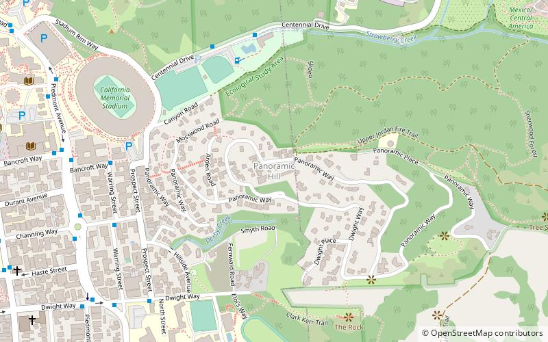
Panoramic Hill
Panoramic Hill is a residential neighborhood of the cities of Berkeley and Oakland, California defined by the homes along and within the access corridor defined by Panoramic Way.
UC Village
UC Village, also called University Village or University Village Albany, is a housing community for students who are married or have dependents. It is owned and administered by the University of California, Berkeley.
West Berkeley
West Berkeley is generally the area of Berkeley, California, that lies west of San Pablo Avenue, abutting San Francisco Bay. It includes the area that was once the unincorporated town of Ocean View, as well as the filled-in areas along the shoreline west of I-80, mainly including the Berkeley Marina.
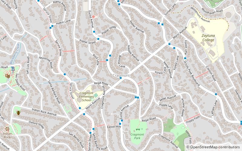
Cragmont
The Cragmont area of Berkeley is a residential district located in the northeastern section of the city, occupying most of the hill area north of Codornices Creek. It lies at an elevation of 755 feet.
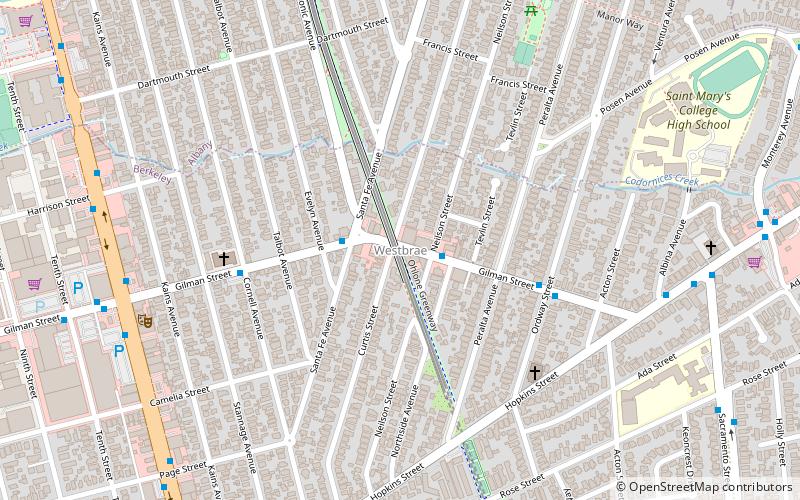
Westbrae
Westbrae is a neighborhood in the northern part of Berkeley, California in the East Bay section of the San Francisco Bay Area. Westbrae is "centered" on the intersection of Santa Fe Avenue and Gilman Street, although the main extent is east, south and west of this intersection, with the Albany city limit only a short distance north.
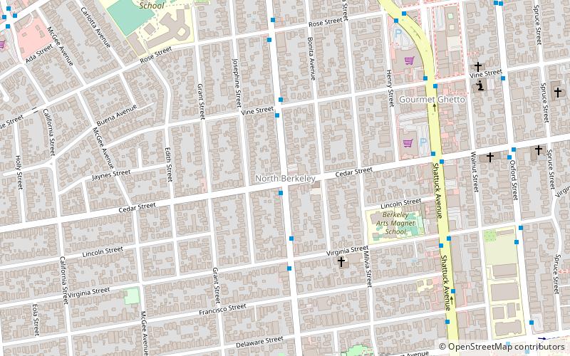
North Berkeley
North Berkeley is a neighborhood of Berkeley, California. It is situated north of downtown, spanning from Hearst Avenue to Eunice Street, and touches the northwest corner of the UC Berkeley campus.
South Berkeley
South Berkeley is a neighborhood in the city of Berkeley, California. It extends roughly from Dwight Way to the city’s border with Oakland, between Telegraph Avenue in the east and either Sacramento Street or San Pablo Avenue in the west.
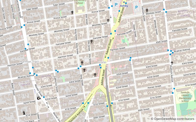
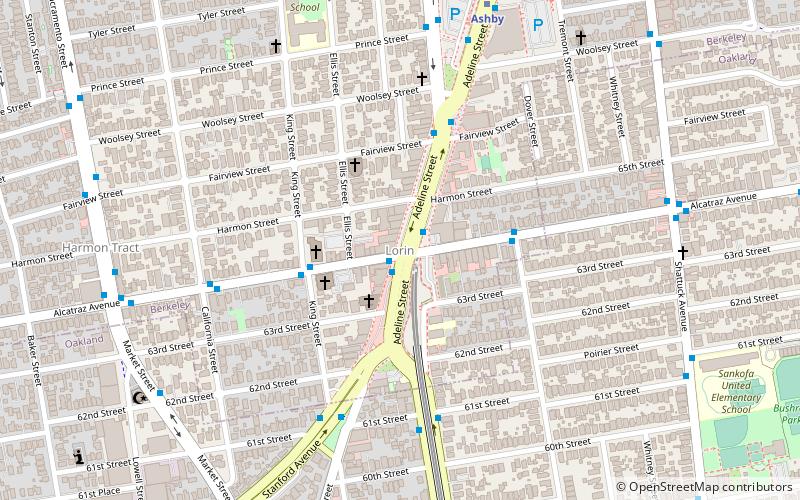
Lorin
The Lorin District is a neighborhood located in the southern part of Berkeley, California, bounded by Ashby Avenue to the north, Adeline Street and Martin Luther King Jr. Way to the east, Sacramento Street to the west, and 62nd Street to the south.
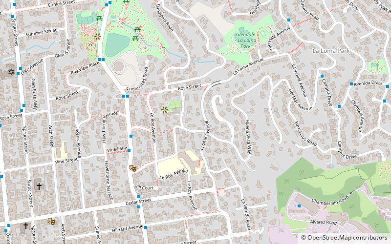
La Loma Park
La Loma Park is a tract of land located in the Berkeley Hills section of the city of Berkeley, California in the San Francisco Bay Area. The Spanish word loma means "rise/low hill". It was the property of Captain Richard Parks Thomas, a veteran of the Civil War and Berkeley businessman. Today, it is entirely a residential area.
Map


