Big Rivers Regional Trail, Fort Snelling State Park
Map

Map

Facts and practical information
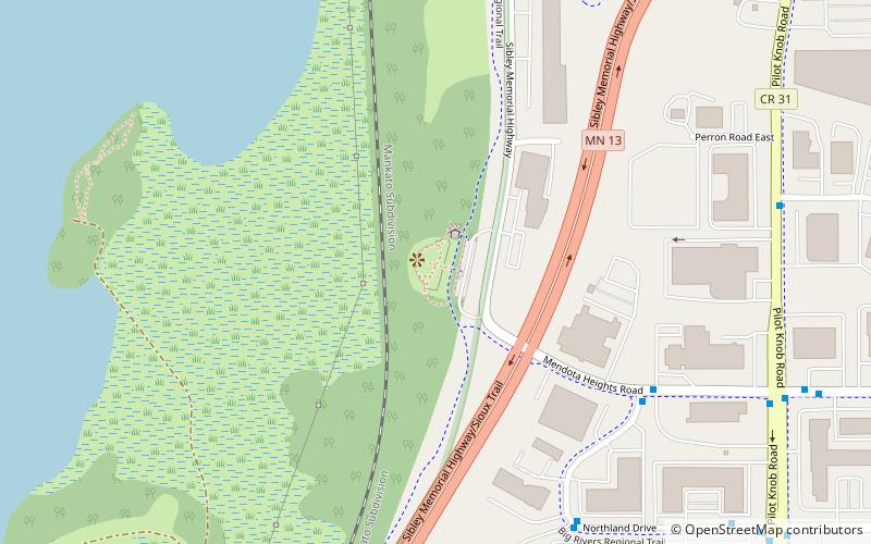
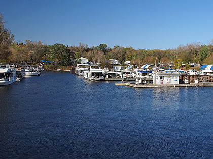
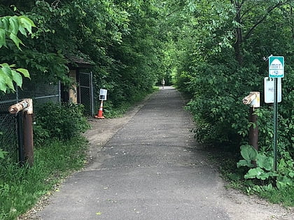
Big Rivers Regional Trail is a paved 4.5-mile rail trail that overlooks the confluence of the Minnesota and Mississippi rivers along the northern edge of Dakota County, Minnesota, United States. It runs between the cities of Eagan and Lilydale. ()
Elevation: 797 ft a.s.l.Coordinates: 44°52'2"N, 93°10'26"W
Address
Mendota HeightsFort Snelling State Park
ContactAdd
Social media
Add
Day trips
Big Rivers Regional Trail – popular in the area (distance from the attraction)
Nearby attractions include: Nickelodeon Universe, Mall of America, Fort Snelling, Highland Park Aquatic Center.


