Little Rock: Neighbourhood
Places and attractions in the Neighbourhood category
Categories
- Museum
- Memorial
- Park
- Church
- History museum
- Cemetery
- Sport
- Sport venue
- Historical place
- Neighbourhood
- Greek Revival architecture
- Gothic Revival architecture
- Romanesque architecture
- Colonial revival architecture
- Tudor Revival architecture
Central High School Neighborhood Historic District
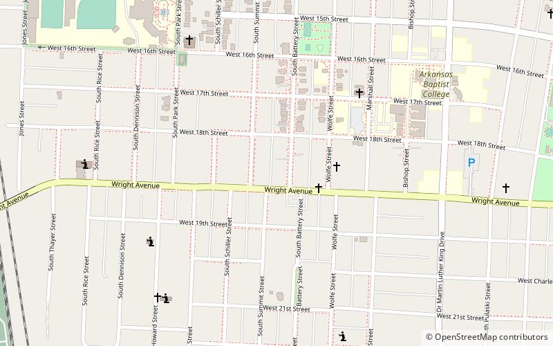
The Central High School Neighborhood Historic District in Little Rock, Arkansas comprises the area surrounding Little Rock Central High School. The area was designated to provide historic context to the National Historic Landmark school.
Quapaw Quarter
The Quapaw Quarter of Little Rock, Arkansas, is a section of the city including its oldest and most historic business and residential neighborhoods. The area's name was first given in 1961, honoring the Quapaw Indians who lived in the area centuries ago.
Argenta Historic District
The Argenta Historic District encompasses significant historic elements of central North Little Rock, Arkansas. The area that is now central North Little Rock was known as Argenta when it was first settled, and remained unincorporated until it was annexed to Little Rock in 1890.
Capitol View/Stifft's Station
Capitol View/Stifft's Station is a neighborhood of Little Rock, Arkansas, in the west-central portion of the city encompassing approximately 1500 homes. Roughly, its boundaries include the area south of West Markham, north of Interstate 630, east of Pine, and west of Summit, as well as south of Riverview between Park and Summit.
East Little Rock
Predominantly industrial in development, East Little Rock generally refers to most portions of the city of Little Rock, Arkansas located east of Interstate 30.
Mabelvale
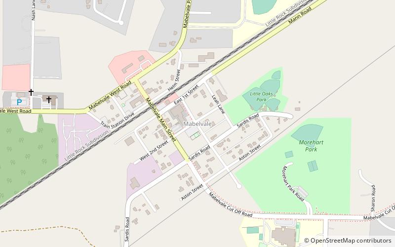
Mabelvale was a small, unincorporated train station town in southwestern Pulaski County, Arkansas, until being annexed into Little Rock following a special election that was held on May 3, 1973.
Paul Laurence Dunbar School Neighborhood Historic District
The Paul Laurence Dunbar School Neighborhood Historic District encompasses a historical neighborhood area of central Little Rock, Arkansas.
Hanger Hill Historic District
The Hanger Hill Historic District encompasses a collection of early 20th-century residential properties on the 1500 block of Welch Street in Little Rock, Arkansas.
West 7th Street Historic District
The West 7th Street Historic District encompasses a collection of early 20th-century commercial buildings on the 800-1100 blocks of West 7th Street in Little Rock, Arkansas.
Scipio A. Jones House
The Scipio A. Jones House is a historic house at 1872 South Cross Street in Little Rock, Arkansas. It is a 1+1⁄2-story masonry structure, finished in an elaborate interpretation of the Craftsman style with a variety of materials.
South Main Street Residential Historic District
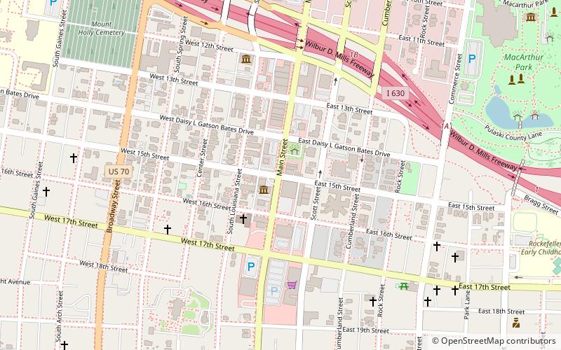
The South Main Street Residential Historic District encompasses a residential area south of downtown Little Rock, Arkansas. The area, extending along South Main Street roughly between 19th and 23rd Streets, was developed between about 1880 and 1945, and includes a well-preserved set of residential architecture from that period.
Main Street Commercial District
The Main Street Commercial District is a historic district encompassing a typical downtown city block of Little Rock, Arkansas, during the first half of the 20th century.
Womack House
The Womack House is a historic house at 1867 South Ringo Street in Little Rock, Arkansas. It is a single-story wood-frame structure, with a low-pitch gable roof, weatherboard siding, and a brick foundation.
South Main Street Commercial Historic District
The South Main Street Commercial Historic District of Little Rock, Arkansas is a historic district encompassing a five-block stretch of South Main Street, just south of the city's downtown area.
Capitol–Main Historic District
The Capitol–Main Historic District encompasses a well-preserved area of early 19th-century commercial architecture in downtown Little Rock, Arkansas. The district includes 2-1/2 blocks of Capitol Street, extending east from Center Street, one block of Main Street south of Capitol, and one block of 6th Street west of Main.
South Scott Street Historic District
The South Scott Street Historic District encompasses a small portion of a residential area south of downtown Little Rock, Arkansas. It includes the 2400 block of South Scott Street, and one block of 24th Street just to its west.
East Markham Street Historic District
The East Markham Street Historic District encompasses a cluster of four architecturally distinctive commercial buildings on the south side of the 300 block of East Markham Street in the riverfront area of Little Rock, Arkansas.
Tuf Nut Historic Commercial District
The Tuf Nut Historic Commercial District encompasses two commercial/industrial buildings at 300-312 South Rock Street and 423 East 3rd Street in Little Rock, Arkansas.
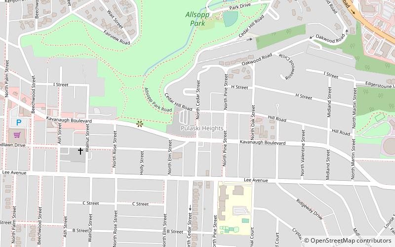
Pulaski Heights
Pulaski Heights is a section of the city of Little Rock, Arkansas, located in the north-central portion of the city. The area comprises two distinct neighborhoods representing an historic suburb dating from the 1890s that was among the first areas to be annexed into Little Rock.
John Barrow
The John Barrow Addition of Little Rock, Arkansas is a neighborhood in the western portion of the city. It is bordered on the north by Kanis Road, on the west by I-430, on the east by Boyle Park, and on the south by Asher Avenue.
Woodlands Edge
Woodlands Edge is a residential neighborhood in Little Rock, Arkansas, developed by Rocket Properties, LLC. The project began with a 54-acre tract purchase in July 2001 and grew to nearly 800 acres.
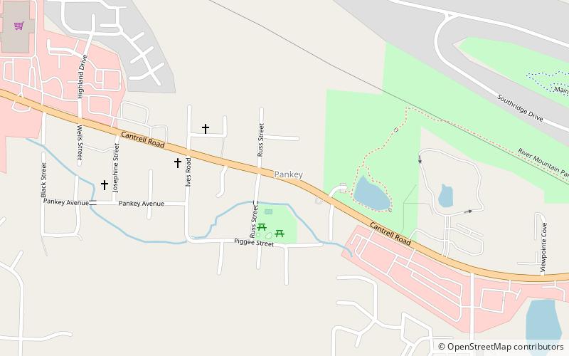
Pankey
Pankey is a formerly unincorporated community in Pulaski County, Arkansas, United States on Arkansas Highway 10. Historically, it was located west of Little Rock, but has since been annexed by the city.
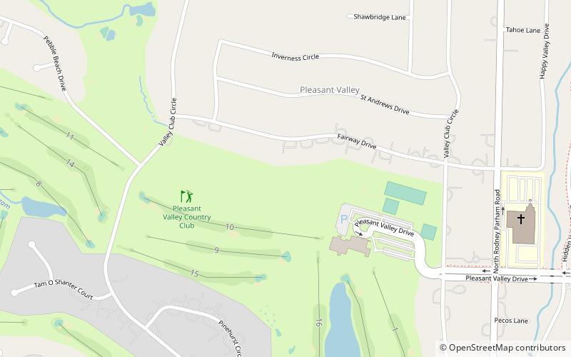
Pleasant Valley
Pleasant Valley is a neighborhood that is among the older western neighborhoods of the city of Little Rock, Arkansas. The area is to the northwest of Breckenridge and west of Colony West.
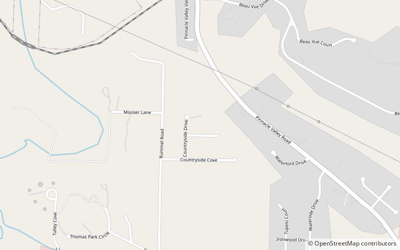
Pinnacle Valley
Pinnacle Valley is the northwesternmost neighborhood of the city of Little Rock, Arkansas. The area is to the south of Pinnacle Mountain, one of the highest elevations in Pulaski County.
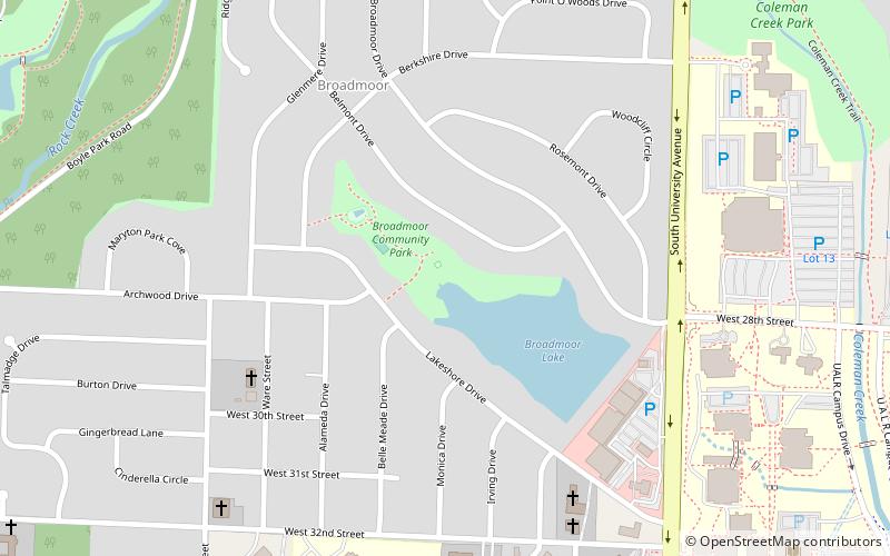
Broadmoor
Broadmoor is a neighborhood of 553 homes in central Little Rock, Arkansas, located in the University District. It was developed west of Hayes Street on the western edge of the city beginning in 1953.
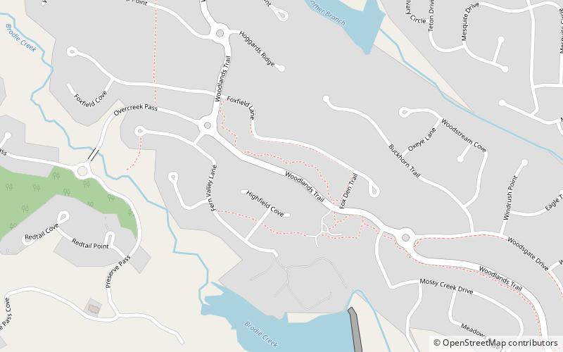
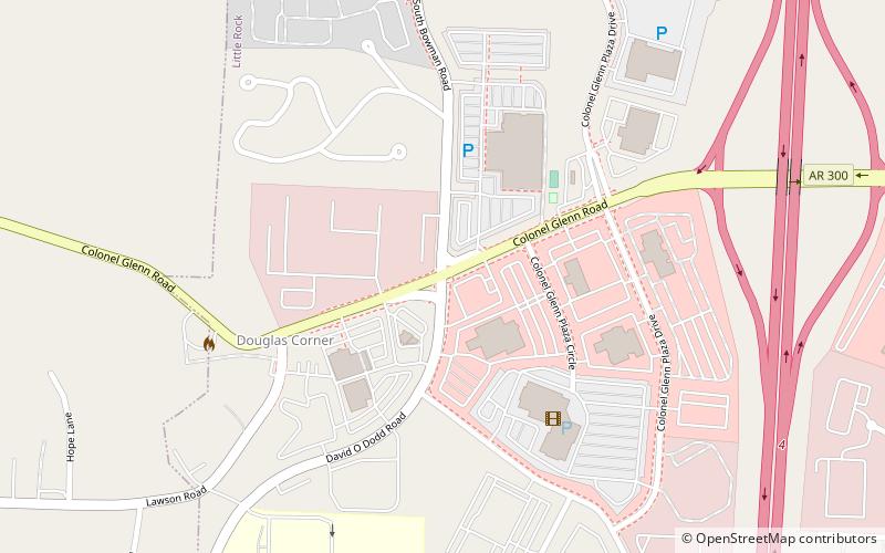
Brodie Creek
Brodie Creek is a traditional residential neighborhood in west Little Rock, Arkansas with close proximity to Interstate 430, Bowman Rd, Kanis Rd, Chenal Pkwy, and Col Glenn Rd.
Map

