San Francisco: Trail
Places and attractions in the Trail category
Categories
- Museum
- Park
- Nightlife
- Church
- Theater
- Concerts and shows
- Street
- Specialty museum
- Art museum
- Art gallery
- Historical place
- Shopping
- Dancing
- History museum
- Neighbourhood
- Monuments and statues
- Sacred and religious sites
- View point
- Shopping centre
- Playground
- Skyscraper
- Tower
- Music venue
- Lighthouse
- Library
- Gothic Revival architecture
- Cinema
- Garden
- Memorial
- Vernacular architecture
- Architecture
- Natural attraction
- Science museum
- Temple
- Sport
- Sport venue
- Bookshop
- Postmodern architecture
- Trail
- Square
- Forts and castles
- Performing arts
- Entertainment
- Boat or ferry
- Universities and schools
- Restaurant
- Island
- Lake
- Beach
- Concert hall
- Nature
- Sculpture
- Hiking trail
- Hiking
- Nature and wildlife
- Game and entertainment center
- Ship
- Golf
- Event space
- Piers and boardwalks
- Music and shows
- Synagogue
- Bars and clubs
- Modernist architecture
- Entertainment district
- Victorian architecture
- Neo-renaissance architecture
- Romanesque architecture
- Queen Anne architecture
- Arenas and stadiums
- Tunnel
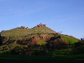
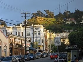
Corona Heights Park
Corona Heights Park is a park in the Castro and Corona Heights neighborhoods of San Francisco, California, United States. It is situated immediately to the south of Buena Vista Park.
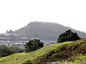
Mount Davidson
Mount Davidson is the highest natural point in San Francisco, California, with an elevation of 928 feet. It is located near the geographical center of the city, south of Twin Peaks and Portola Drive and to the west of Diamond Heights and Glen Park.
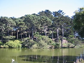
Strawberry Hill
Strawberry Hill is a hill in San Francisco, California, near the center of Golden Gate Park. The hill occupies an entire island in the park's man-made Stow Lake, and is connected by two bridges to the mainland of the park.
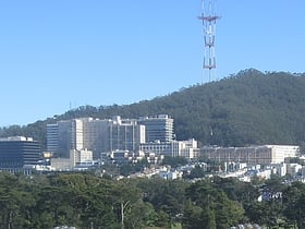
Mount Sutro
Mount Sutro is a hill in central San Francisco, California. It was originally named Mount Parnassus.
Tank Hill
Tank Hill Park is located in San Francisco near the intersection of Clayton Street and Twin Peaks Boulevard, which circumscribes the hill to the south and east. A rocky outcropping defines the north side, which falls in cliffs to houses below.
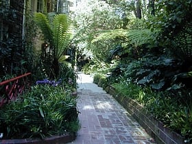
Macondray Lane
Macondray Lane is a small pedestrian lane on the southeastern side of Russian Hill in San Francisco, California. It forms a wooded enclave that was added to the National Register of Historic Places in 1988 as the Russian Hill–Macondray Lane District.
Map

