San Francisco: Street
Places and attractions in the Street category
Categories
- Museum
- Park
- Nightlife
- Church
- Theater
- Concerts and shows
- Street
- Specialty museum
- Art museum
- Art gallery
- Historical place
- Shopping
- Dancing
- History museum
- Neighbourhood
- Monuments and statues
- Sacred and religious sites
- View point
- Shopping centre
- Playground
- Skyscraper
- Tower
- Music venue
- Lighthouse
- Library
- Gothic Revival architecture
- Cinema
- Garden
- Memorial
- Vernacular architecture
- Architecture
- Natural attraction
- Science museum
- Temple
- Sport
- Sport venue
- Bookshop
- Postmodern architecture
- Trail
- Square
- Forts and castles
- Performing arts
- Entertainment
- Boat or ferry
- Universities and schools
- Restaurant
- Island
- Lake
- Beach
- Concert hall
- Nature
- Sculpture
- Hiking trail
- Hiking
- Nature and wildlife
- Game and entertainment center
- Ship
- Golf
- Event space
- Piers and boardwalks
- Music and shows
- Synagogue
- Bars and clubs
- Modernist architecture
- Entertainment district
- Victorian architecture
- Neo-renaissance architecture
- Romanesque architecture
- Queen Anne architecture
- Arenas and stadiums
- Tunnel
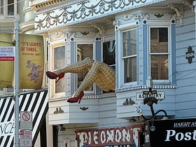
Haight Street
Nestled in the heart of San Francisco, Haight Street serves as a vibrant and bustling shopping district, steeped in a rich tapestry of history and culture. Known for its pivotal role in the 1960s hippie movement, Haight Street today is a colorful blend of vintage...
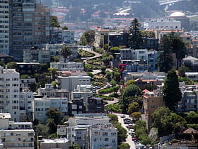
Lombard Street
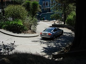
Lombard Street in San Francisco, United States, is famous for its steep, one-block section with eight hairpin turns. Touted as "the crookedest street in the world," this iconic thoroughfare is located in the city's Russian Hill neighborhood.
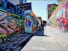
Clarion Alley
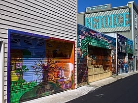
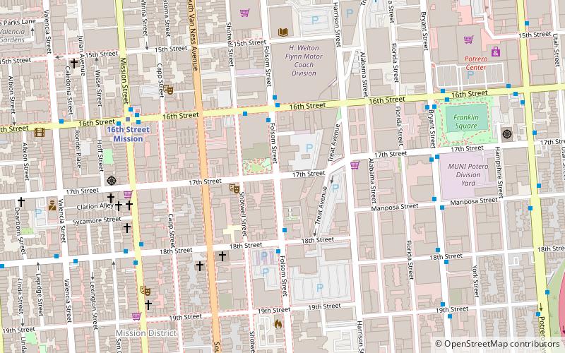
Clarion Alley is a small street in San Francisco between Mission and Valencia Streets and 17th and 18th Streets, notable for the murals painted by the Clarion Alley Mural Project.
Jack Kerouac Alley
Jack Kerouac Alley, formerly Adler Alley or Adler Place, is a one-way alleyway in San Francisco, California, that connects Grant Avenue in Chinatown, and Columbus Avenue in North Beach.
Balmy Alley
Balmy Alley is a one-block-long alley that is home to the most concentrated collection of murals in the city of San Francisco. It is located in the south central portion of the Inner Mission District between 24th Street and Garfield Square. Since 1973, most buildings on the street have been decorated with a mural.
Stockton Street
Stockton Street is a north-south street in San Francisco. It begins at Market Street passing Union Square, a major shopping district in the city.
Macondray Lane
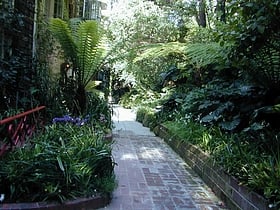
Macondray Lane is a small pedestrian lane on the southeastern side of Russian Hill in San Francisco, California. It forms a wooded enclave that was added to the National Register of Historic Places in 1988 as the Russian Hill–Macondray Lane District.
New Montgomery Street
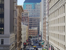
New Montgomery Street, formerly Montgomery Street South, begins at Market Street and terminates at Howard Street in the SOMA district of San Francisco, California.
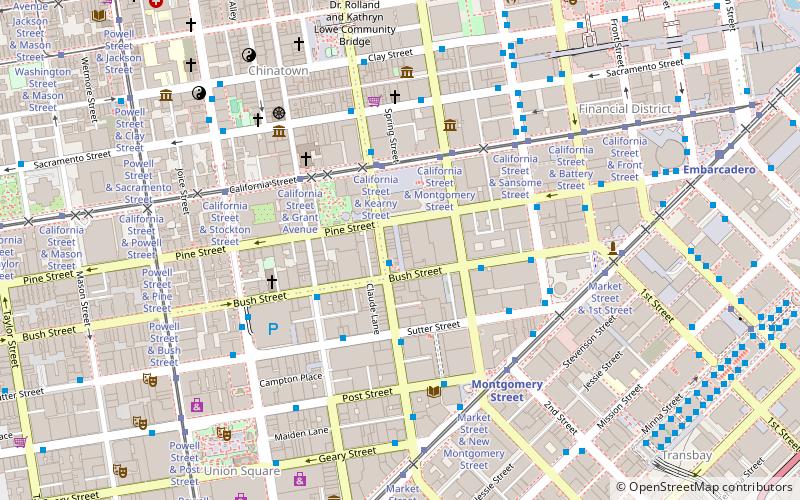
California Street
California Street is a major thoroughfare in San Francisco, California. It is one of the longest streets in San Francisco, and includes a number of important landmarks.
Grant Avenue
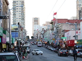
Grant Avenue in San Francisco, California, is one of the oldest streets in the city's Chinatown district. It runs in a north–south direction starting at Market Street in the heart of downtown and dead-ending past Francisco Street in the North Beach district.
Columbus Avenue
Columbus Avenue is one of the major streets of San Francisco that runs diagonally through the North Beach and Chinatown areas of San Francisco, California, from Washington and Montgomery Streets by the Transamerica Pyramid to Beach Street near Fisherman's Wharf.
Montgomery Street
Montgomery Street is a north-south thoroughfare in San Francisco, California, in the United States. It runs about 16 blocks from the Telegraph Hill neighborhood south through downtown, terminating at Market Street.
Belden Place
Belden Place is a narrow alley in the Financial District of San Francisco, California that serves as the hub of the city's small French American community.
Polk Street
Polk Street is a street in San Francisco, California, that travels northward from Market Street to Beach Street and is one of the main thoroughfares of the Polk Gulch neighborhood traversing through the Tenderloin, Nob Hill, and Russian Hill neighborhoods.
Ross Alley
Ross Alley is a north–south alley in San Francisco's Chinatown. Ross Alley lies between and is parallel to Stockton and Grant, running one city block between Jackson and Washington.
Van Ness Avenue
Van Ness Avenue is a north–south thoroughfare in San Francisco, California. Originally named Marlette Street, the street was renamed Van Ness Avenue in honor of the city's sixth mayor, James Van Ness.
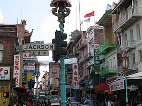
Jackson Street
Jackson Street is a street in San Francisco, California, running through the Pacific Heights, Nob Hill, Chinatown and Jackson Square districts of the city.
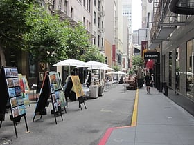
Maiden Lane
Maiden Lane is a pedestrian mall located in San Francisco, California, United States. A former section of the city's red light district, Maiden Lane is now home to high-end boutiques and art galleries.
Fillmore Street
Fillmore Street is a street in San Francisco, California which starts in the Lower Haight neighborhood and travels northward through the Fillmore District and Pacific Heights and ends in the Marina District.
Octavia Boulevard
Octavia Boulevard is a major street in San Francisco, California that replaced the Hayes Valley portion of the damaged two-level Central Freeway. Once a portion of Octavia Street alongside shadowy, fenced-off land beneath the elevated U.S.
Vermont Street
Vermont Street is a north–south street in the Potrero Hill district of San Francisco, one of a series of streets in the Potrero Hill district named after American battleships.
Folsom Street
Folsom Street is a street in San Francisco which begins perpendicular to Alemany Boulevard in San Francisco's Bernal Heights district and ends perpendicular to the Embarcadero on the San Francisco Bay.
19th Avenue
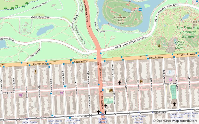
19th Avenue is a north-south city street in San Francisco, California. It consists of two non-contiguous segments that are separated by Golden Gate Park.
Filbert Street
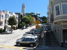
Filbert Street in San Francisco, California starts at Lyon Street on the east edge of The Presidio and runs east, crossing Van Ness Avenue and Columbus Avenue.
22nd Street
22nd Street is an east–west street passing through the Noe Valley, Mission, and Potrero Hill districts of San Francisco, California.
Kearny Street
Kearny Street in San Francisco, California runs north from Market Street to The Embarcadero. Toward its south end, it separates the Financial District from the Union Square and Chinatown districts.
Rescue Row
Rescue Row is a city block in the Mission District of San Francisco, California known for containing several of San Francisco’s animal rescue & pet adoption organizations.
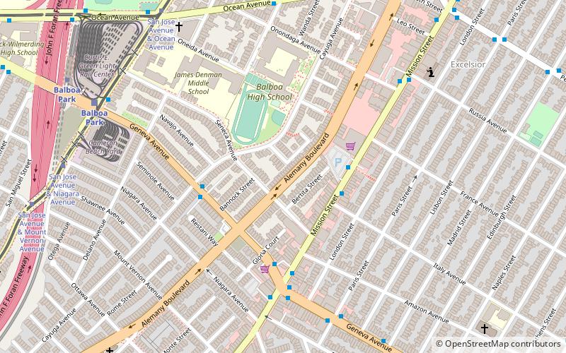
Alemany Boulevard
Alemany Boulevard is a northeast–southwest street in San Francisco, California, United States. The boulevard was named for Archbishop Joseph Sadoc Alemany. Alemany, who in 1840 completed his studies in sacred theology in Rome at the College of St.
Geary Boulevard
Geary Boulevard is a major east–west 5.8-mile-long thoroughfare in San Francisco, California, United States, beginning downtown at Market Street near Market Street's intersection with Kearny Street, and running westbound through downtown, the Civic Center area, the Western...
Mission Street
Mission Street is a north-south arterial thoroughfare in Daly City and San Francisco, California that runs from Daly City's southern border to San Francisco's northeast waterfront.
Map

