San Francisco: Neighbourhood
Places and attractions in the Neighbourhood category
Categories
- Museum
- Park
- Nightlife
- Church
- Theater
- Concerts and shows
- Street
- Specialty museum
- Art museum
- Art gallery
- Historical place
- Shopping
- Dancing
- History museum
- Neighbourhood
- Monuments and statues
- Sacred and religious sites
- View point
- Shopping centre
- Playground
- Skyscraper
- Tower
- Music venue
- Lighthouse
- Library
- Gothic Revival architecture
- Cinema
- Garden
- Memorial
- Vernacular architecture
- Architecture
- Natural attraction
- Science museum
- Temple
- Sport
- Sport venue
- Bookshop
- Postmodern architecture
- Trail
- Square
- Forts and castles
- Performing arts
- Entertainment
- Boat or ferry
- Universities and schools
- Restaurant
- Island
- Lake
- Beach
- Concert hall
- Nature
- Sculpture
- Hiking trail
- Hiking
- Nature and wildlife
- Game and entertainment center
- Ship
- Golf
- Event space
- Piers and boardwalks
- Music and shows
- Synagogue
- Bars and clubs
- Modernist architecture
- Entertainment district
- Victorian architecture
- Neo-renaissance architecture
- Romanesque architecture
- Queen Anne architecture
- Arenas and stadiums
- Tunnel
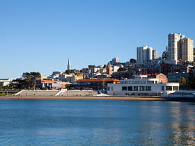
Aquatic Park Historic District
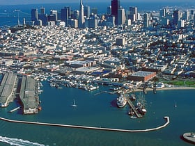
Nestled in the bustling city of San Francisco, the Aquatic Park Historic District stands as a testament to the city's rich maritime history and as a haven for both sports enthusiasts and leisure seekers. This waterfront complex, situated at the northern end of the...
Wax Museum at Fishermans Wharf
The Wax Museum at Fisherman's Wharf, San Francisco, was an attraction with over 270 wax figures. Originator Thomas Fong opened the museum in 1963 after seeing the wax figures at the Seattle World's Fair and it was run by the Fong Family until its closure in 2013. It has attracted over 400,000 visitors a year.
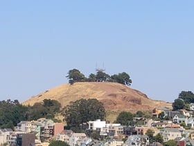
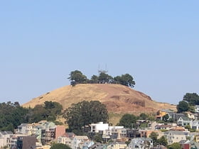
Bernal Hill
Bernal Heights Summit or Bernal Heights Hill is a hill in the San Francisco, California neighborhood of Bernal Heights. Upper elevations are part of Bernal Heights Park, which is managed by the San Francisco Recreation & Parks Department.
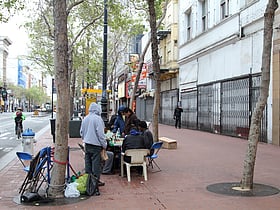
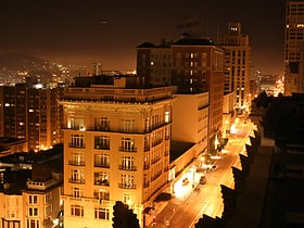
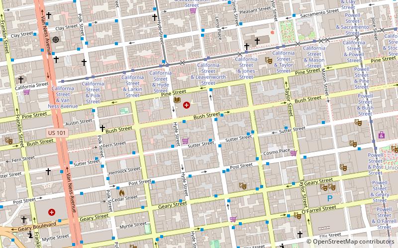
Tenderloin
The Tenderloin is a neighborhood in downtown San Francisco, in the flatlands on the southern slope of Nob Hill, situated between the Union Square shopping district to the northeast and the Civic Center office district to the southwest.
Stockton Street
Stockton Street is a north-south street in San Francisco. It begins at Market Street passing Union Square, a major shopping district in the city.
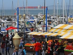
Fisherman's Wharf
Fisherman's Wharf is a neighborhood and popular tourist attraction in San Francisco, California. It roughly encompasses the northern waterfront area of San Francisco from Ghirardelli Square or Van Ness Avenue east to Pier 35 or Kearny Street.
Yerba Buena Island
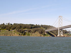
Yerba Buena Island sits in the San Francisco Bay between San Francisco and Oakland, California. The Yerba Buena Tunnel runs through its center and connects the western and eastern spans of the San Francisco–Oakland Bay Bridge.
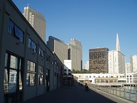
Financial District
The Financial District is a neighborhood in San Francisco, California, that serves as its main central business district and has 372,829 jobs according to us census tracts as of 2012-2016.
Western Addition
The Western Addition is a district in San Francisco, California, United States.
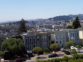
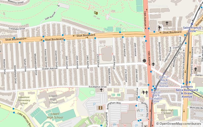
Merced Manor
Merced Manor is a neighborhood in southwestern San Francisco, between Stern Grove and Lake Merced. It is bordered by 19th Avenue to the east, Sloat Boulevard to the north, 26th Avenue to the west and Eucalyptus Drive to the south.
Noe Valley
Noe Valley is a neighborhood in the central part of San Francisco, California. It is named for Don José de Jesús Noé, noted 19th-century Californio statesman and ranchero, who owned much of the area and served as mayor.
West Portal
West Portal is a small neighborhood in San Francisco, California. West Portal is a primarily residential area of the City. The neighborhood's main corridor, West Portal Avenue, serves as a principal shopping district of southwestern San Francisco.
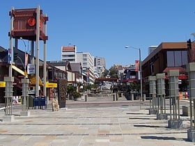
Japantown
Japantown is a neighborhood in the Western Addition district of San Francisco, California. Japantown comprises about 6 city blocks and is considered one of the largest and oldest ethnic enclaves in the United States.
Nob Hill
Nob Hill is a neighborhood of San Francisco, California that is known for its numerous luxury hotels and historic mansions. Nob Hill has historically served as a center of San Francisco's upper class.
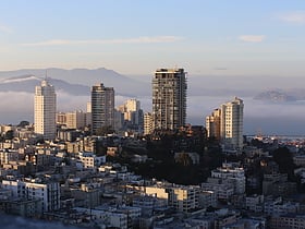
Russian Hill
Russian Hill is a high-end neighborhood of San Francisco, California. It is named after one of San Francisco's 44 hills, and one of its original "Seven Hills".
Central Embarcadero Piers Historic District
The Central Embarcadero Piers Historic District is a Registered Historic District in the City of San Francisco, California, United States.
Russian Hill-Macondray Lane District
The Russian Hill–Macondray Lane District is a 1.6-acre historic district in San Francisco, California that was listed on the National Register of Historic Places in 1988. The listing included 12 contributing buildings and one contributing site, Macondray Lane.
Lower Haight
The Lower Haight is a neighborhood, sometimes referred to as Haight–Fillmore, in San Francisco, California.
Potrero Hill
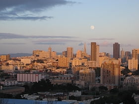
Potrero Hill is a residential neighborhood in San Francisco, California. It is known for its views of the San Francisco Bay and city skyline, its proximity to many destination spots, its sunny weather, and having two freeways and a Caltrain station.
Haight-Ashbury
Haight-Ashbury is a district of San Francisco, California, named for the intersection of Haight and Ashbury streets. It is also called The Haight and The Upper Haight. The neighborhood is known as one of the main centers of the hippie and counterculture of the 1960s.
South of Market
South of Market is a neighborhood in San Francisco, California, situated just south of Market Street. It contains several sub-neighborhoods including South Beach, Yerba Buena, and Rincon Hill.
Fillmore District
The Fillmore District is a historical neighborhood in San Francisco located to the southwest of Nob Hill, west of Market Street and north of the Mission District. It has been given various nicknames such as “the Moe” or “the Fill”. The Fillmore District began to rise to prominence after the 1906 San Francisco earthquake.
Marina District
The Marina District is a neighborhood located in San Francisco, California. The neighborhood sits on the site of the 1915 Panama–Pacific International Exposition, staged after the 1906 San Francisco earthquake to celebrate the reemergence of the city.
Hayes Valley
Hayes Valley is a neighborhood in the Western Addition district of San Francisco, California. It is located between the historical districts of Alamo Square and the Civic Center.
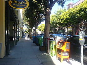
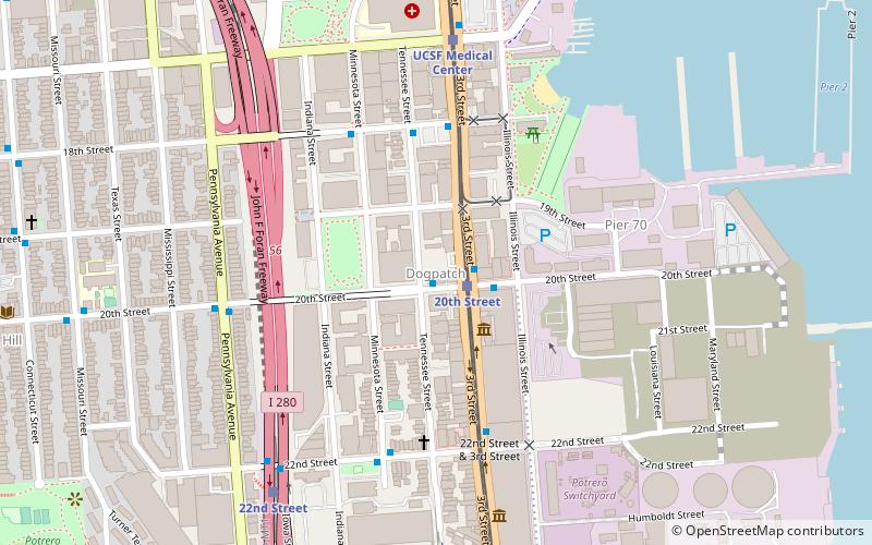
Dogpatch
Dogpatch is a neighborhood in San Francisco, California, roughly half industrial and half residential. It was initially a working-class neighborhood, but has experienced rapid gentrification since the 1990s.
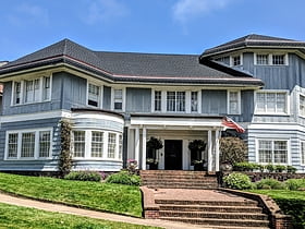
Presidio Terrace
Presidio Terrace is a small, extremely affluent neighborhood in San Francisco that was the first of the master-planned communities built in the western part of the city.
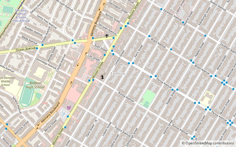
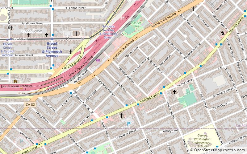
Excelsior District
The Excelsior District is a neighborhood in San Francisco, California.
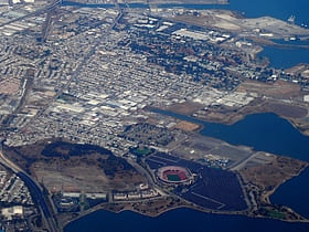
Bayview–Hunters Point
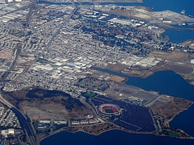
Bayview–Hunters Point is the San Francisco, California, neighborhood combining the Bayview and Hunters Point neighborhoods in the southeastern corner of the city. The decommissioned Hunters Point Naval Shipyard is located within its boundaries and Candlestick Park, which was demolished in 2015, was on the southern edge.
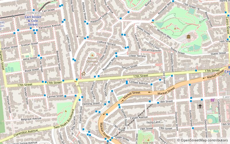
Cole Valley
Cole Valley is a small neighborhood in San Francisco, California. It borders Golden Gate Park to the north, Haight-Ashbury to the northeast, The Castro to the east. and Twin Peaks to the south.
Anza Vista
Anza Vista is a neighborhood in the Western Addition district of San Francisco, California. It is named after Juan Bautista de Anza, the first Spanish explorer to reach San Francisco.
Duboce Triangle
The Duboce Triangle is a neighborhood of San Francisco, California, located below Buena Vista Park and between the neighborhoods of the Castro/Eureka Valley, the Mission District, and the Lower Haight.
St. Francis Wood
St. Francis Wood is a residential neighborhood located in southwestern San Francisco, California, south of the West Portal neighborhood and west of Mount Davidson. St. Francis Wood had a population of 1,228 and a median household income of $144,719 in 2013. Characterized by family homes on spacious lots, St.
Carville
Carville, also known Carville-by-the-Sea, was an impromptu neighborhood in the late 19th and early 20th centuries in what is now the Outer Sunset District of San Francisco, California.
Mission District
The Mission District, commonly known as The Mission, is a neighborhood in San Francisco, California. One of the oldest neighborhoods in San Francisco, the Mission District's name is derived from Mission San Francisco de Asís, built in 1776 by the Spanish.
Lower Pacific Heights
Lower Pacific Heights, also known as Upper Fillmore, is a neighborhood in San Francisco, California, between Pacific Heights, the Fillmore District, Laurel Heights, and Japantown.
Tendernob
The Tendernob is an area in San Francisco, California between Nob Hill area to the north and the Tenderloin to the south. The name is a portmanteau of Tenderloin and Nob Hill, and is often used by realtors for marketing purposes.
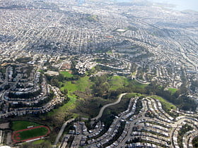
Bernal Heights
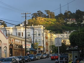
Bernal Heights is a residential neighborhood in southeastern San Francisco, California. The prominent Bernal Heights hill overlooks the San Francisco skyline and features a microwave transmission tower.
Diamond Heights
Diamond Heights is a neighborhood in central San Francisco, California, roughly bordered by Diamond Heights Boulevard and Noe Valley to the north and east and Glen Canyon Park to the south and west.
India Basin
India Basin is neighborhood in the southeastern part of San Francisco, California, considered to be part of the larger Bayview–Hunters Point neighborhood.
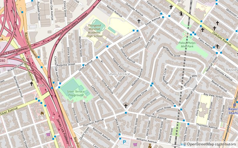
Silver Terrace
Silver Terrace is a neighborhood in the south eastern corner of San Francisco, between the Bayview and Portola neighborhoods. It is roughly bordered by Third Street to the east, Palou Avenue and Silver Avenue to the north, Williams Avenue to the south and Bayshore Boulevard and U.S.
Corona Heights
Corona Heights is a neighborhood in San Francisco, California, just north of Market Street and Eureka Valley. Corona Heights is often considered part of the Castro and Upper Market areas.
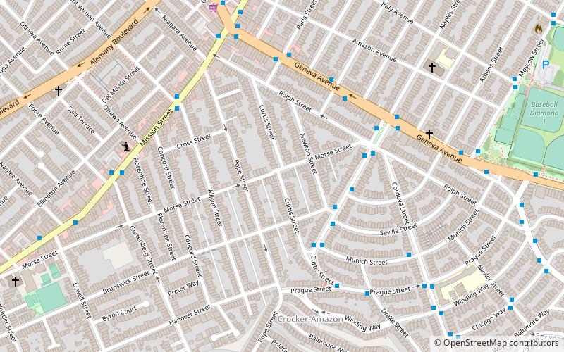
Crocker-Amazon
Crocker-Amazon is a neighborhood in San Francisco that borders the Excelsior District. Crocker-Amazon covers the area south of Mission Street and Geneva Avenue, extending toward suburban Daly City.
Outer Mission
Outer Mission is a small residential neighborhood on the south edge of San Francisco.
Little Hollywood
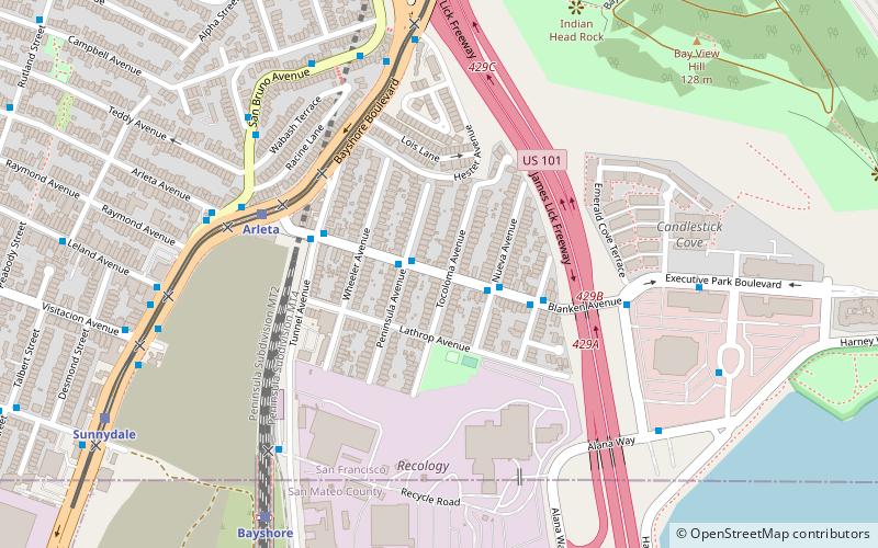
Little Hollywood is a small neighborhood in the southeastern edge of San Francisco. It is centered around Blanken Avenue between Bayshore Boulevard and U.S. Route 101.
Map

