Summer Street, Boston
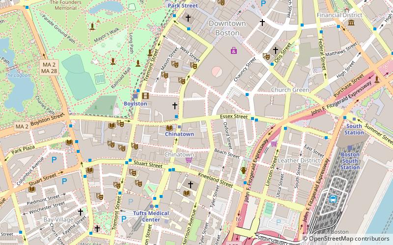
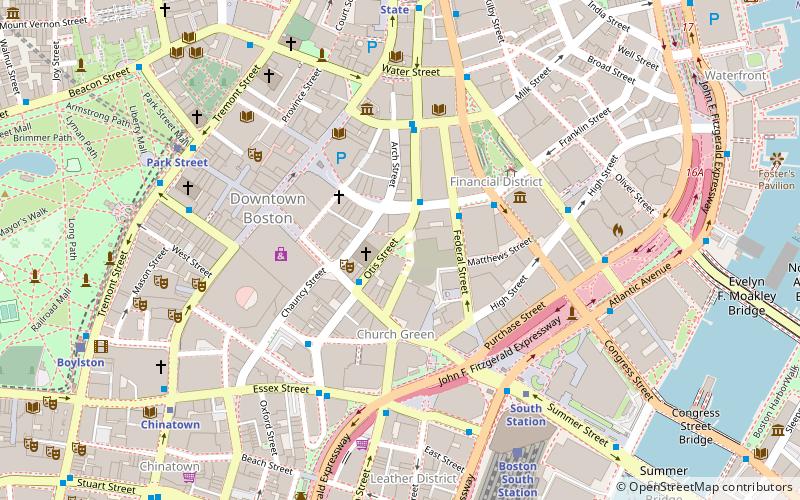
Map
Gallery
Facts and practical information
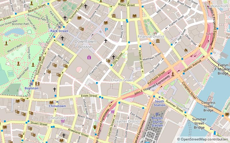
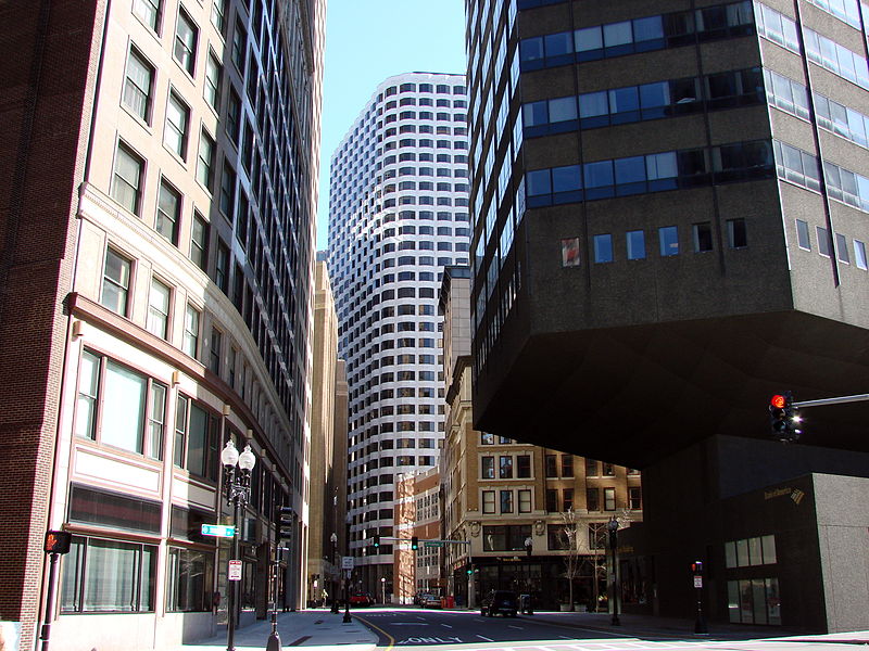
Summer Street in Boston, Massachusetts, extends from Downtown Crossing in the Financial District, over Fort Point Channel, and into the Seaport District to the southeast. In the mid-19th century it was also called Seven Star Lane. ()
Coordinates: 42°21'14"N, 71°3'30"W
Day trips
Summer Street – popular in the area (distance from the attraction)
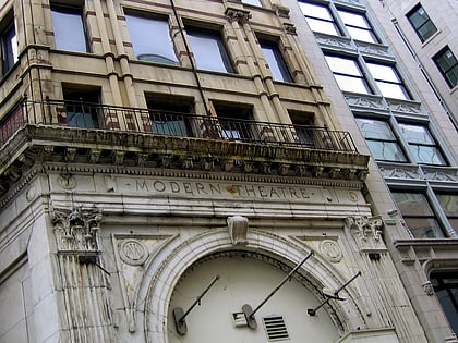
Nearby attractions include: Downtown Crossing, Opera House, Old South Meeting House, Modern Theatre.
Frequently Asked Questions (FAQ)
Which popular attractions are close to Summer Street?
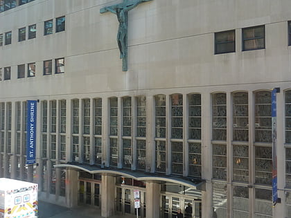
Nearby attractions include Church Green Buildings Historic District, Boston (1 min walk), St. Anthony Shrine, Boston (2 min walk), Bedford Block, Boston (2 min walk), Winthrop Square, Boston (2 min walk).
How to get to Summer Street by public transport?
The nearest stations to Summer Street:
Bus
Metro
Train
Light rail
Bus
- Otis St @ Summer St • Lines: 504, 7 (1 min walk)
- Lincoln St @ Essex St • Lines: 504 (4 min walk)
Metro
- Downtown Crossing • Lines: Orange, Red (4 min walk)
- South Station • Lines: Red (6 min walk)
Train
- Boston South Station (6 min walk)
- Boston North Station (23 min walk)
Light rail
- Park Street • Lines: B, C, D, E (7 min walk)
- Boylston • Lines: B, C, D, E (9 min walk)

 MBTA Subway


