South Portland, Portland
Map
Facts and practical information
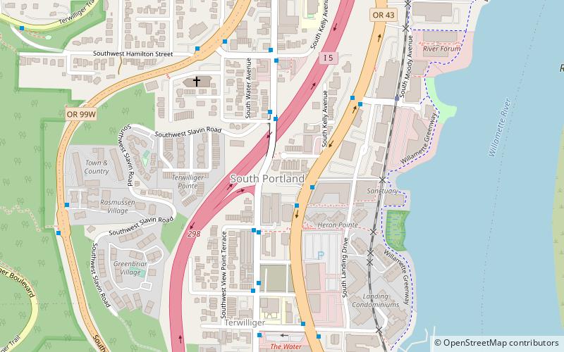
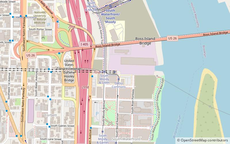
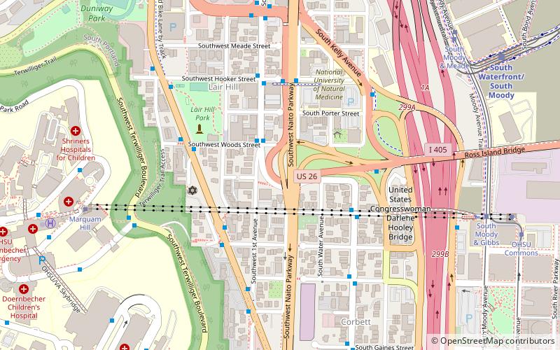
South Portland is a long, narrow neighborhood just south of Downtown Portland, Oregon, hemmed in between the Willamette River and the West Hills. It stretches from I-405 and the Marquam Bridge on the north, to SW Canby St. and the Sellwood Bridge in the south. The Willamette forms the eastern boundary, and SW Barbur Blvd. most of the western boundary. In addition to Downtown to the north, other bordering neighborhoods are Southwest Hills, Homestead, Hillsdale, and South Burlingame to the west, and Hosford-Abernethy, Brooklyn, and Sellwood-Moreland across the river on the east. ()
Coordinates: 45°29'18"N, 122°40'34"W
Getting there by public transportation
Public transportation stops near this location
- Bus
- Tram
- Light rail
- Train
 Bus
Bus
- Calculate routeSouthwest Macadam & Julia 2 min walk
- Calculate routeSouthwest Corbett & Richardson 3 min walk
- Calculate routeSouth Lowell & Bond 12 min walk
- Calculate routeSouth Bond & Lane 15 min walk
- Calculate routeSouth Moody & Gaines 15 min walk
- Calculate routeOHSU Commons 20 min walk
- Calculate routeSouth Waterfront/South Moody 27 min walk
- Calculate routeClinton Street/Southeast 12th Avenue 38 min walk
- Calculate routeOaks Park 35 min walk
Day trips


Frequently Asked Questions (FAQ)
Which popular attractions are close to South Portland?
Nearby attractions include Ross Island, Portland (12 min walk), Riva on the Park, Portland (15 min walk), The Ardea, Portland (16 min walk), John Ross Tower, Portland (17 min walk).
How to get to South Portland by public transport?
The nearest stations to South Portland:
Bus
Tram
Light rail
Train
Bus
- Southwest Macadam & Julia • Lines: 35, 36 (2 min walk)
- Southwest Corbett & Richardson • Lines: 43 (3 min walk)
Tram
- South Lowell & Bond • Lines: Ns (12 min walk)
- South Bond & Lane • Lines: Ns (15 min walk)
Light rail
- South Waterfront/South Moody • Lines: Orange (27 min walk)
- Clinton Street/Southeast 12th Avenue • Lines: Orange (38 min walk)
Train
- Oaks Park (35 min walk)