Benning Terrace, Washington D.C.
Map
Facts and practical information
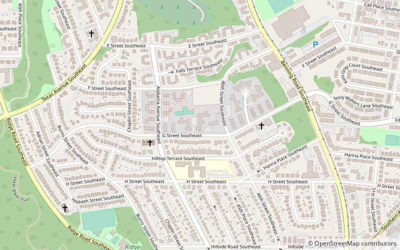
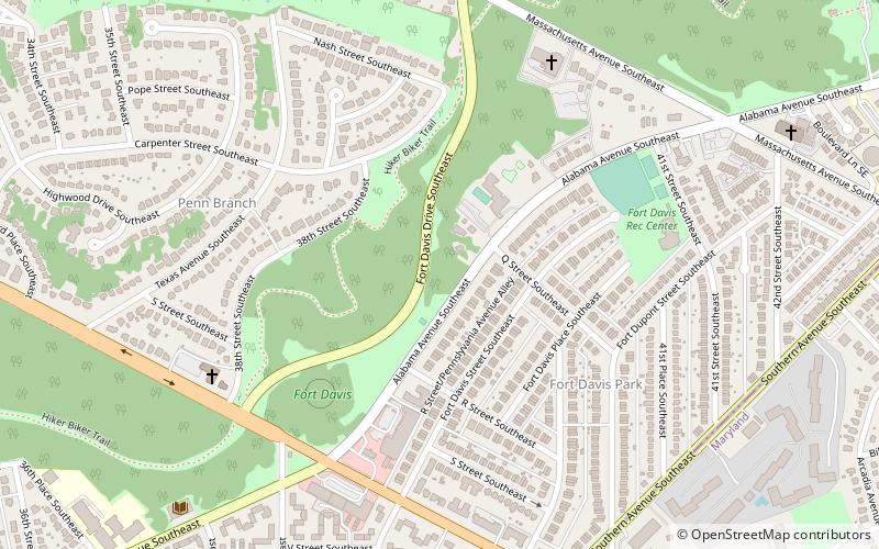
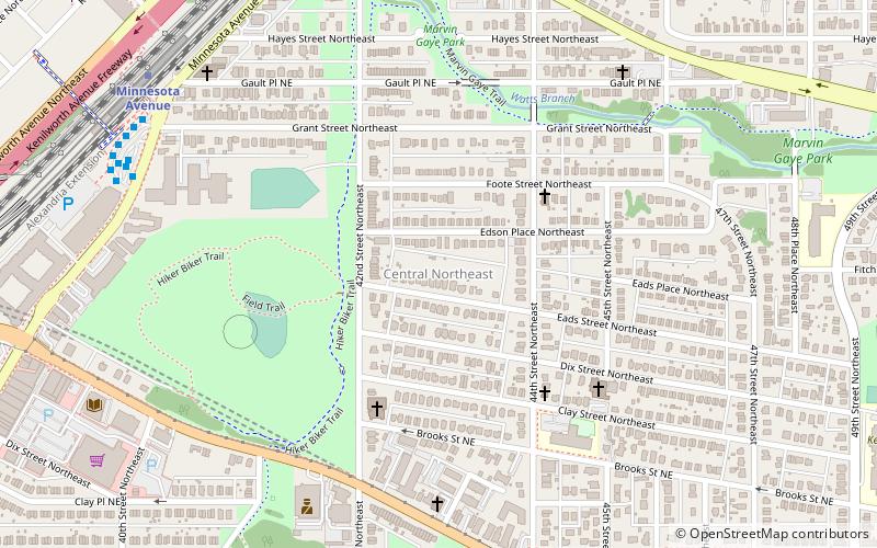
Benning Terrace is a public housing project of 274 apartments and townhouses in southeast Washington, D.C. located east of the Anacostia River in the Benning Ridge neighborhood. It is known to the natives as "Simple City." ()
Coordinates: 38°52'50"N, 76°56'15"W
Address
Southeast Washington (Fort Dupont)Washington D.C.
ContactAdd
Social media
Add
Getting there by public transportation
Public transportation stops near this location
- Metro
 Metro
Metro
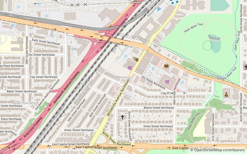
- Calculate routeBenning Road 19 min walk
Day trips


Frequently Asked Questions (FAQ)
Which popular attractions are close to Benning Terrace?
Nearby attractions include Benning Ridge, Washington D.C. (2 min walk), Benning Heights, Washington D.C. (3 min walk), Civic Betterment, Washington D.C. (12 min walk), Marshall Heights, Washington D.C. (16 min walk).
How to get to Benning Terrace by public transport?
The nearest stations to Benning Terrace:
Metro
Metro
- Benning Road • Lines: Bl, Sv (19 min walk)