Fairfax Village, Washington D.C.
Map
Facts and practical information
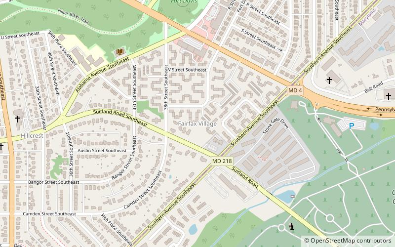
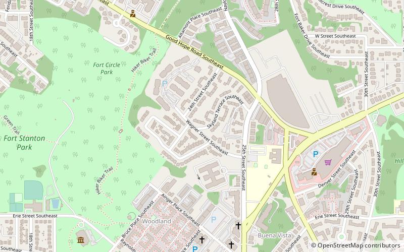
Fairfax Village is a small neighborhood of garden apartments and townhouses located in southeast Washington, D.C. in the Hillcrest area. It is bound by Alabama Avenue SE to the northwest, Pennsylvania Avenue SE to the northeast, Suitland Road to the southwest, and Southern Avenue to the east. ()
Coordinates: 38°51'45"N, 76°57'3"W
Address
Southeast Washington (Hillcrest - Fairfax Village)Washington D.C.
ContactAdd
Social media
Add
Getting there by public transportation
Public transportation stops near this location
- Metro
- Bus
 Metro
Metro
- Calculate routeNaylor Rd Station & Bus Bay B 22 min walk
- Calculate routeNaylor Rd Station & Bus Bay D 23 min walk
- Calculate routeNaylor Rd Station & Bus Bay E 23 min walk
- Calculate routeF 23 min walk
- Calculate routeNaylor Road 22 min walk
Day trips


Frequently Asked Questions (FAQ)
Which popular attractions are close to Fairfax Village?
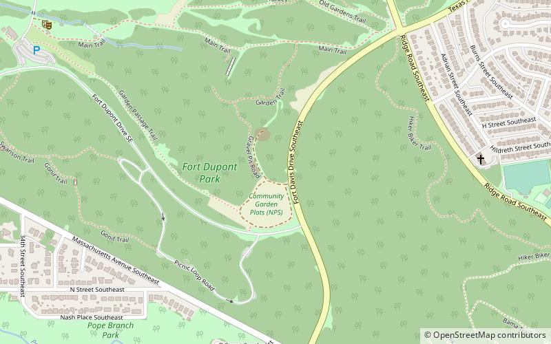
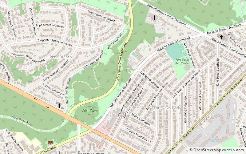
Nearby attractions include Francis A. Gregory Neighborhood Library, Washington D.C. (7 min walk), Fort Davis Park, Washington D.C. (11 min walk), Good Hope, Suitland (20 min walk), Penn Branch, Washington D.C. (21 min walk).
How to get to Fairfax Village by public transport?
The nearest stations to Fairfax Village:
Bus
Metro
Bus
- Naylor Rd Station & Bus Bay B • Lines: F14 (22 min walk)
- Naylor Rd Station & Bus Bay D • Lines: H11, H12, H13 (23 min walk)
Metro
- Naylor Road • Lines: Gr (22 min walk)