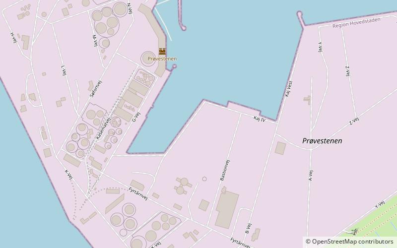
Prøvestenen, Copenhagen


Facts and practical information
Prøvestenen, also known as Benzinøen, is an artificial island off the northeast coast of Amager in Copenhagen, Denmark. It is located between the Amager Hill combined incineration plant and ski slope to the north and Amager Strandpark to the south. It was created as a marine fortress to guard the entrance to Copenhagen Harbour in the second half of the 18th century and served military purposes until 1922. It now houses the city's petroleum harbor. Prøvestensbroen at the end of Prags Boulevard links it with the rest of Amager. ()
Amager Øst (Lindgreens)Copenhagen
Prøvestenen – popular in the area (distance from the attraction)
Nearby attractions include: Amager Centret, Dyssebroen, Sundby Church, Frankrigsgade.
Frequently Asked Questions (FAQ)
How to get to Prøvestenen by public transport?
Metro
- Øresund • Lines: M2 (28 min walk)
- Lergravsparken • Lines: M2 (32 min walk)
Bus
- Lynetten • Lines: 2A (29 min walk)
- Strandlodsvej • Lines: 77 (29 min walk)
Ferry
- Holmen Nord • Lines: 991, 992 (33 min walk)
- Refshaleøen • Lines: 991, 992 (39 min walk)

 Metro
Metro


