Sundbyøster, Copenhagen
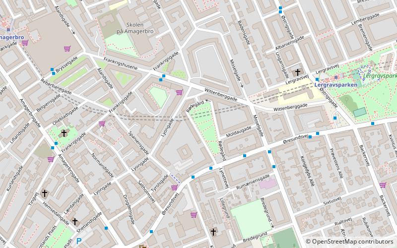
Map
Facts and practical information
Sundbyøster is one of the 15 administrative, statistical, and tax city districts comprising the municipality of Copenhagen, Denmark. It lies on the southeast border of the municipality on the island of Amager. It covers an area of 8.60 km2, has a population of 48,673 and a population density of 5,658 per km2, which makes it the most populated district in Copenhagen. ()
Address
Amager Øst (Lyons)Copenhagen
ContactAdd
Social media
Add
Getting there by public transportation
Public transportation stops near this location
- Metro
- Bus
- Ferry
 Metro
Metro
- Calculate routeKirkegårdsvej 3 min walk
- Calculate routeRumæniensgade 3 min walk
- Calculate routeØresundsvej 4 min walk
- Calculate routeLergravsparken 7 min walk
- Calculate routeAmagerbro 10 min walk
- Calculate routeØresund 18 min walk
- Calculate routeAmager Strand 23 min walk
- Calculate routeKnippelsbro 34 min walk
Maps Metro
Metro
MetroDay trips


Frequently Asked Questions (FAQ)
Which popular attractions are close to Sundbyøster?
Nearby attractions include Frankrigsgade, Copenhagen (4 min walk), All Saints' Church, Copenhagen (5 min walk), Sundby Church, Copenhagen (6 min walk), Lergravsparken, Copenhagen (8 min walk).
How to get to Sundbyøster by public transport?
The nearest stations to Sundbyøster:
Bus
Metro
Ferry
Bus
- Kirkegårdsvej • Lines: 77 (3 min walk)
- Rumæniensgade • Lines: 77 (3 min walk)
Metro
- Lergravsparken • Lines: M2 (7 min walk)
- Amagerbro • Lines: M2 (10 min walk)
Ferry
- Knippelsbro • Lines: 991, 992 (34 min walk)