Blankenese High Lighthouse, Hamburg
Map
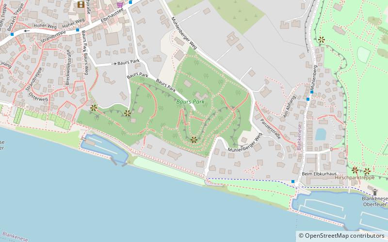
Map

Facts and practical information
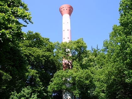
Blankenese High Lighthouse was a lighthouse on the river Elbe in the Hamburg district of Blankenese, from 1984 to 2020. ()
Address
Altona (Blankenese)Hamburg
ContactAdd
Social media
Add
Day trips
Blankenese High Lighthouse – popular in the area (distance from the attraction)
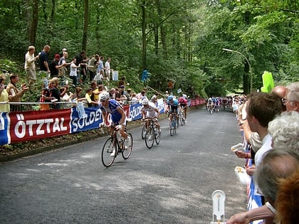
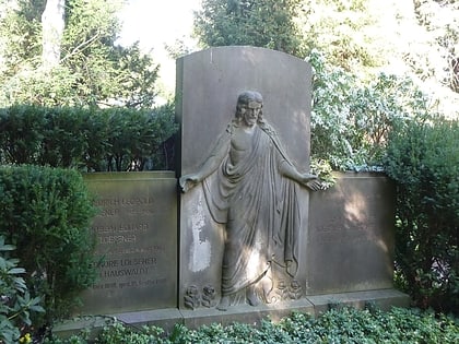
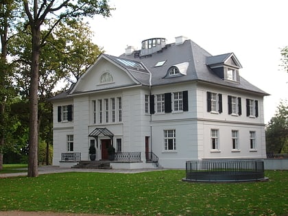
Nearby attractions include: Blankenese Low Lighthouse, Waseberg, Nienstedten Cemetery, Elbchaussee.
Frequently Asked Questions (FAQ)
Which popular attractions are close to Blankenese High Lighthouse?
Nearby attractions include Elbchaussee, Hamburg (7 min walk), Gossler's Park, Hamburg (18 min walk), Blankenese Low Lighthouse, Hamburg (22 min walk), Waseberg, Hamburg (24 min walk).
How to get to Blankenese High Lighthouse by public transport?
The nearest stations to Blankenese High Lighthouse:
Bus
Ferry
Light rail
Bus
- Elbuferweg • Lines: 588 (6 min walk)
- Auguste-Baur-Straße • Lines: 488, 588 (7 min walk)
Ferry
- Blankenese • Lines: FRS HanseFerry, Hbel (13 min walk)
- Airbus • Lines: 68 (33 min walk)
Light rail
- Blankenese • Lines: S1, S11 (16 min walk)
- Hochkamp • Lines: S1, S11 (29 min walk)
