Elbchaussee, Hamburg
Map

Gallery
Facts and practical information
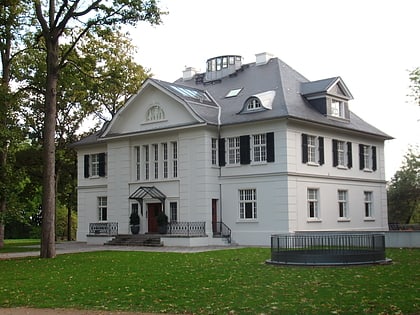
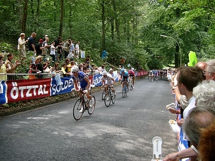
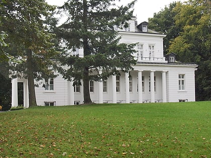
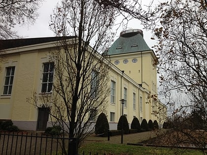
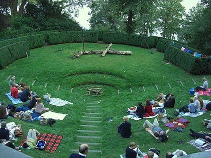
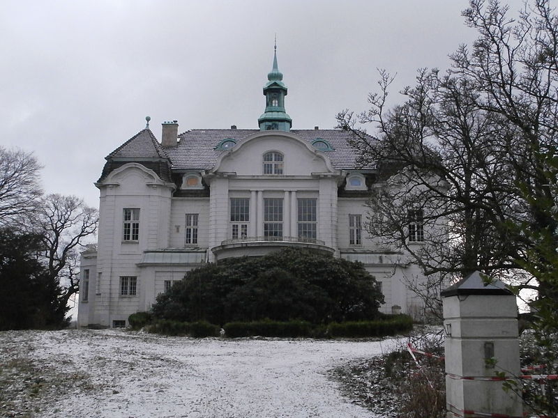
The Elbchaussee is a famous thoroughfare of Hamburg, Germany, joining the city's western Elbe suburbs Othmarschen, Nienstedten and Blankenese with Altona and Hamburg's inner city. Running along the elevated northern Elbe shore, across Geest heights, embedded forests and meadows, the Elbchaussee offers scenic views across the widening Lower Elbe, onto the opposite plains of Altes Land, and the distant activities of the port's container terminals. ()
Day trips
Elbchaussee – popular in the area (distance from the attraction)
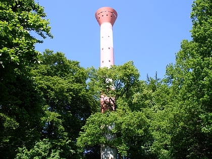
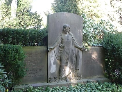
Nearby attractions include: Blankenese Low Lighthouse, Blankenese High Lighthouse, Waseberg, Nienstedten Cemetery.
Frequently Asked Questions (FAQ)
Which popular attractions are close to Elbchaussee?
Nearby attractions include Blankenese High Lighthouse, Hamburg (7 min walk), Gossler's Park, Hamburg (13 min walk), Blankenese Low Lighthouse, Hamburg (17 min walk), Waseberg, Hamburg (18 min walk).
How to get to Elbchaussee by public transport?
The nearest stations to Elbchaussee:
Bus
Ferry
Light rail
Bus
- Strandtreppe • Lines: 488 (1 min walk)
- Auguste-Baur-Straße • Lines: 488, 588 (3 min walk)
Ferry
- Blankenese • Lines: FRS HanseFerry, Hbel (9 min walk)
Light rail
- Blankenese • Lines: S1, S11 (12 min walk)
