Römischer Garten, Hamburg
Map
Map

Facts and practical information
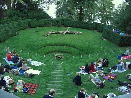
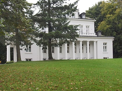
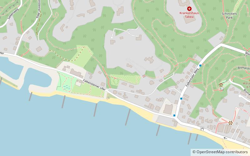
The Roman Garden is a public park in the Hamburg district of Blankenese on the southern slope of the Polterberg.
The park is located 30 meters above the Elbe in the west of Blankenese. The park is special because it was not laid out as an English landscape garden like most gardens and parks on the banks of the Elbe, but in Art Nouveau style. It is a garden monument according to the Hamburg Monument Protection Act. The name Roman Garden derives from the use of southern design forms and plants.
Elevation: 98 ft a.s.l.Coordinates: 53°33'41"N, 9°47'14"E
Address
Falkensteiner UferAltona (Blankenese)Hamburg
ContactAdd
Social media
Add
Day trips
Römischer Garten – popular in the area (distance from the attraction)
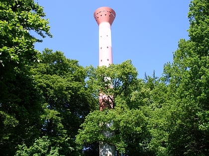
Nearby attractions include: Blankenese Low Lighthouse, Blankenese High Lighthouse, Waseberg, Elbchaussee.
Frequently Asked Questions (FAQ)
Which popular attractions are close to Römischer Garten?
Nearby attractions include Baursberg, Hamburg (9 min walk), Waseberg, Hamburg (9 min walk), Blankenese Low Lighthouse, Hamburg (12 min walk), Gossler's Park, Hamburg (24 min walk).
How to get to Römischer Garten by public transport?
The nearest stations to Römischer Garten:
Bus
Ferry
Light rail
Bus
- Falkentaler Weg • Lines: 488 (6 min walk)
- Elbhöhenweg • Lines: 488 (6 min walk)
Ferry
- Blankenese • Lines: FRS HanseFerry, Hbel (21 min walk)
Light rail
- Blankenese • Lines: S1, S11 (30 min walk)
- Iserbrook • Lines: S1 (40 min walk)
