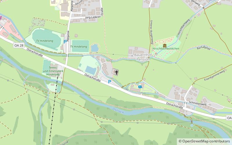
Trinity Church, Bad Hindelang

Gallery (2)
Map

Map
Gallery
Facts and practical information
The present-day Evangelical Lutheran Church of the Holy Trinity in Bad Hindelang stands on a former plague graveyard.
Coordinates: 47°30'2"N, 10°22'13"E
Day trips


