Spreuerhofstraße, Reutlingen
Map

Map

Facts and practical information
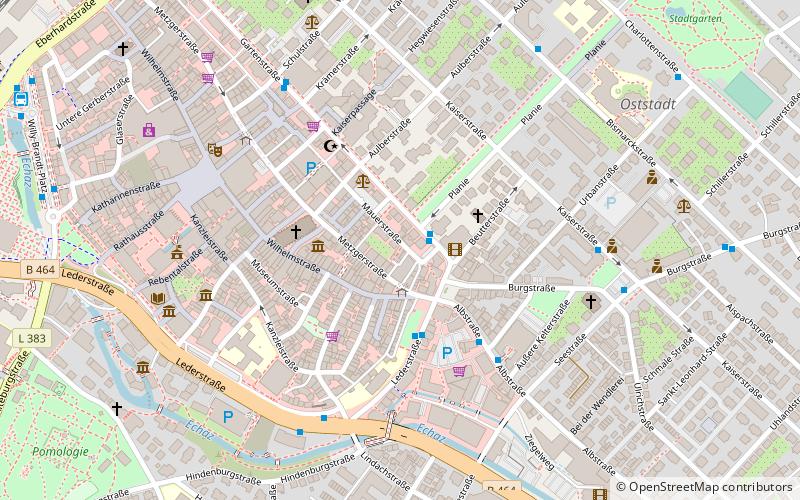
Spreuerhofstraße is, according to Guinness World Records, the world's narrowest street, found in the city of Reutlingen, Germany. It ranges from 31 centimetres at its narrowest to 50 centimetres at its widest. The lane was built in 1727 during the reconstruction efforts after the area was destroyed in the massive citywide fire of 1726 and is officially listed in the Land-Registry Office as City Street Number 77. ()
Address
Reutlingen
ContactAdd
Social media
Add
Day trips
Spreuerhofstraße – popular in the area (distance from the attraction)
Nearby attractions include: Mary's Church, Schmid peoplemover, DAV Kletterzentrum, Städt. Museum Spendhaus.
Frequently Asked Questions (FAQ)
Which popular attractions are close to Spreuerhofstraße?
Nearby attractions include Mary's Church, Reutlingen (3 min walk), Local History Museum, Reutlingen (5 min walk), Städt. Museum Spendhaus, Reutlingen (6 min walk), Public Library, Reutlingen (7 min walk).
How to get to Spreuerhofstraße by public transport?
The nearest stations to Spreuerhofstraße:
Bus
Train
Bus
- Planie • Lines: 1, 11, 155, 2, 21, 3, 4, 5, 6, 82, 9, N1, N2, N3 (1 min walk)
- Lederstraße/Albtorplatz • Lines: 3, 6 (3 min walk)
Train
- Reutlingen Hbf (13 min walk)
- Reutlingen West (17 min walk)


