Fritz-Encke-Volkspark, Cologne
Map
Gallery

Facts and practical information
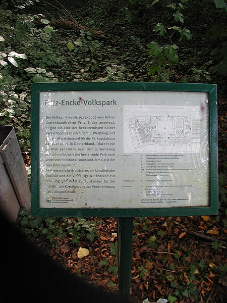
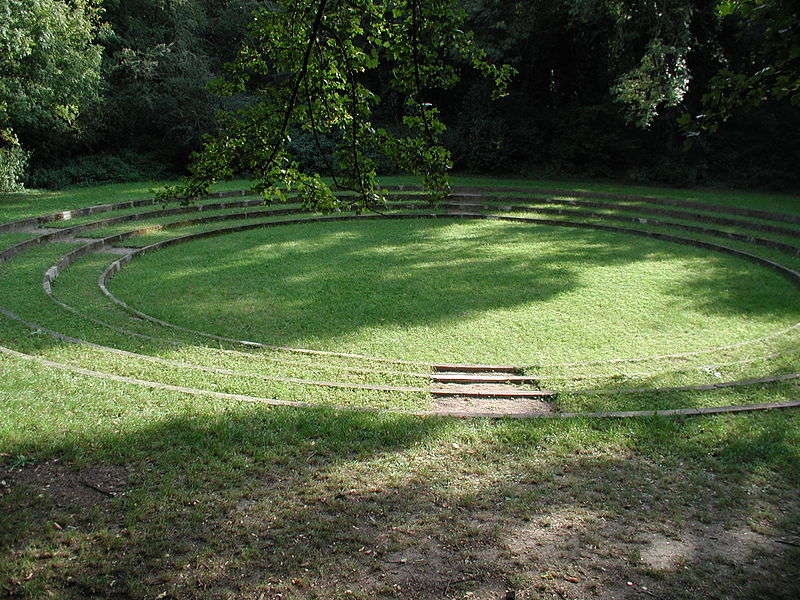
The Volkspark Raderthal in Cologne is a park in the line of the Grünzug Süd, which connects the Inner Grüngürtel in the south of Cologne with the Outer Grüngürtel. The Volkspark is located between Brühler Straße and Bonner Straße and borders the Militärring in the south. It thus still belongs to the area of the outer Cologne green belt.
Elevation: 157 ft a.s.l.Coordinates: 50°53'42"N, 6°57'30"E
Day trips
Fritz-Encke-Volkspark – popular in the area (distance from the attraction)
Nearby attractions include: Forstbotanischer Garten Köln, Judenbüchel, Südfriedhof, Kölner Festungsmuseum.
Frequently Asked Questions (FAQ)
How to get to Fritz-Encke-Volkspark by public transport?
The nearest stations to Fritz-Encke-Volkspark:
Bus
Tram
Bus
- Heeresamt • Lines: 131 (9 min walk)
- Liblarer Straße • Lines: 131 (13 min walk)
Tram
- Zollstock Südfriedhof • Lines: 12 (19 min walk)
- Bayenthalgürtel • Lines: 16, 17 (31 min walk)


