Kölner Festungsmuseum, Cologne
Map
Gallery
Facts and practical information
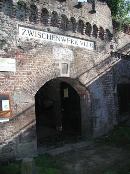
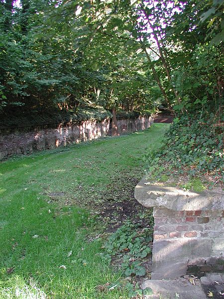
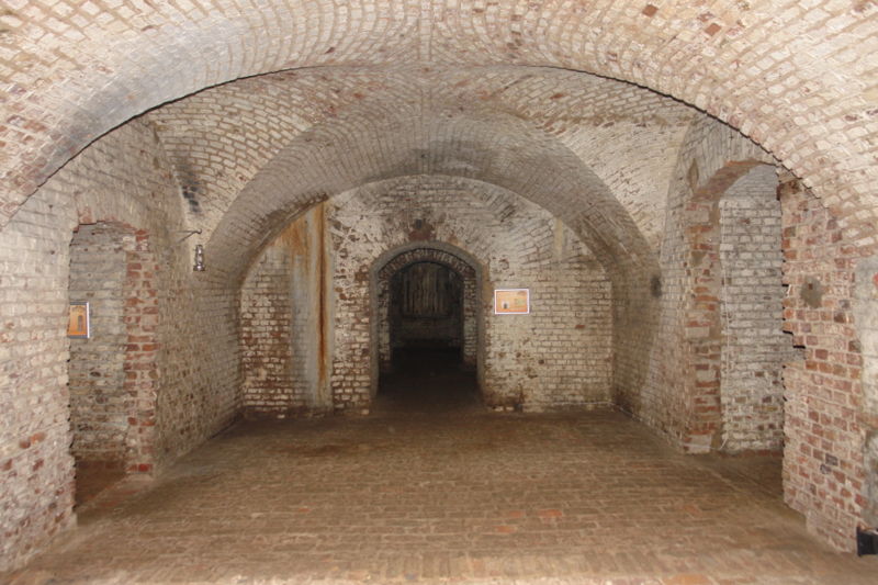
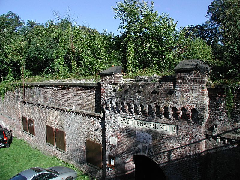
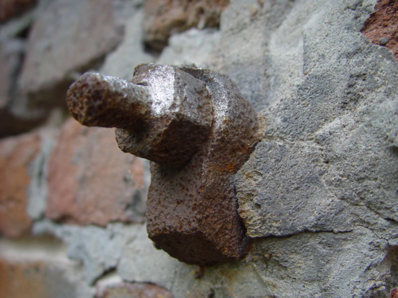
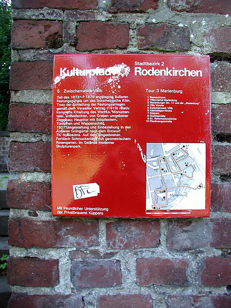
The Cologne Fortress Museum is a volunteer-run museum, still partly under construction, which aims to document and present the entire Prussian fortifications in Cologne. The museum has existed since 2004 in the Zwischenwerk VIII b in the former outer fortification ring of Cologne in the Marienburg district of Cologne.
Coordinates: 50°53'55"N, 6°58'57"E
Address
Militärringstraße 10Rodenkirchen (Marienburg)Cologne 50996
Contact
+49 162 7399505
Social media
Add
Day trips
Kölner Festungsmuseum – popular in the area (distance from the attraction)
Nearby attractions include: Cologne Rodenkirchen Bridge, Forstbotanischer Garten Köln, K11 Boulderhalle, Judenbüchel.
Frequently Asked Questions (FAQ)
Which popular attractions are close to Kölner Festungsmuseum?
Nearby attractions include Cologne Rodenkirchen Bridge, Cologne (10 min walk), Rodenkirchen, Cologne (17 min walk).
How to get to Kölner Festungsmuseum by public transport?
The nearest stations to Kölner Festungsmuseum:
Tram
Bus
Tram
- Heinrich-Lübke-Ufer • Lines: 16, 17 (4 min walk)
- Bayenthalgürtel • Lines: 16, 17 (16 min walk)
Bus
- Konrad-Adenauer-Straße • Lines: 131 (16 min walk)
- Maternusplatz • Lines: 131, 134, 135 (17 min walk)


