Hochkopf

Gallery (3)
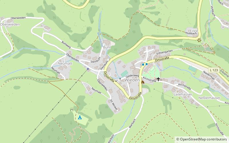
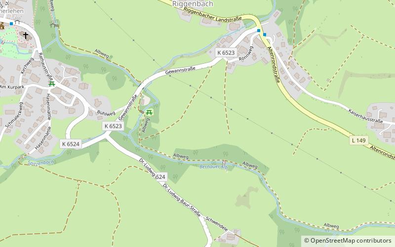
Map
Map
Gallery
Facts and practical information
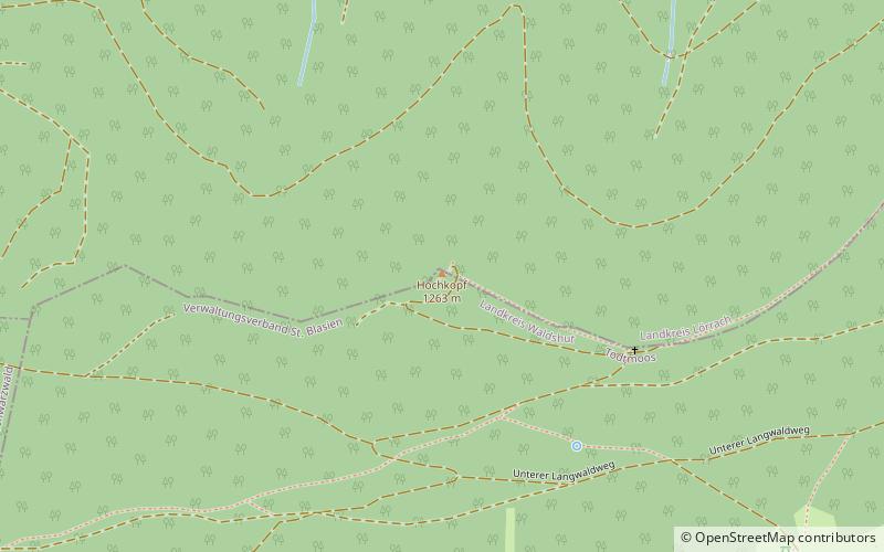
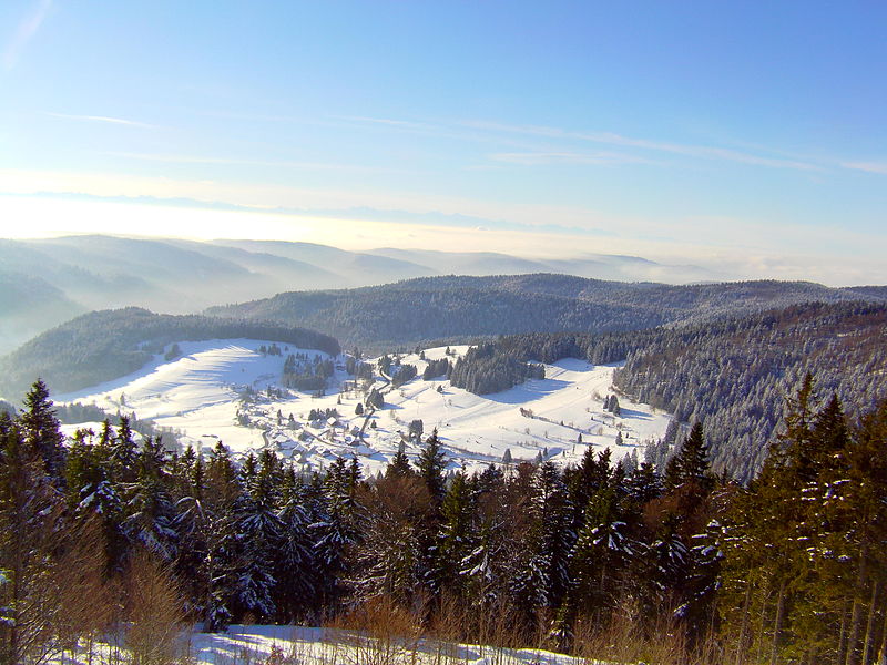
The Hochkopf is a wooded ridge north of the village of Todtmoos in the southern part of the High Black Forest. At 1,263.4 m above sea level its summit is one of the 20 highest points in the German state of Baden-Württemberg. ()
Location
Baden-Württemberg
ContactAdd
Social media
Add
Day trips