Bochum-Innenstadt, Bochum
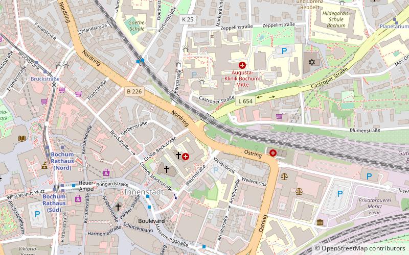
Map
Facts and practical information
Address
Bochum Mitte (Mitte)Bochum
ContactAdd
Social media
Add
Getting there by public transportation
Public transportation stops near this location
- Metro
- Bus
- Tram
- Train
 Metro
Metro
- Calculate routeRathaus 7 min walk
- Calculate routeBochum Hauptbahnhof 9 min walk
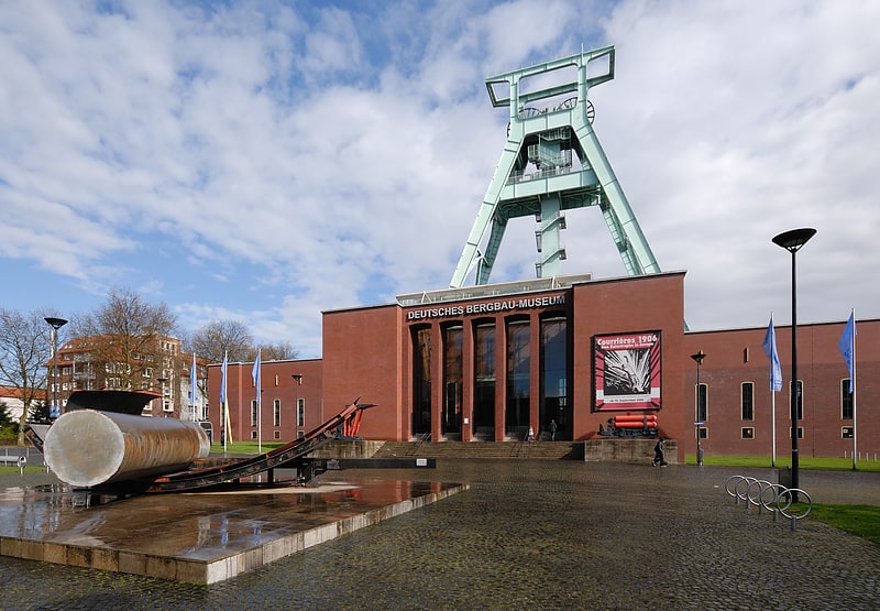
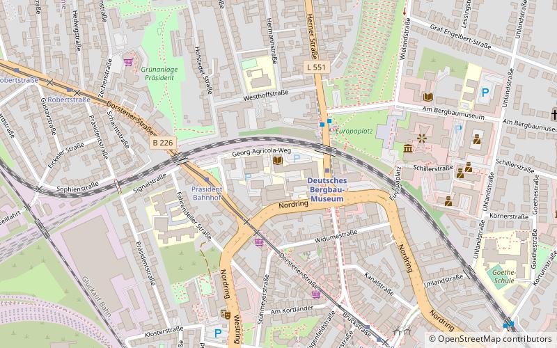
- Calculate routeDeutsches Bergbau-Museum 13 min walk
- Calculate routeOskar-Hoffmann-Straße 19 min walk
- Calculate routeHauptbahnhof 8 min walk
- Calculate routeBochum Rathaus 8 min walk
- Calculate routeBochum Hauptbahnhof 9 min walk
- Calculate routeBrückstraße 9 min walk
- Calculate routeBochum Hauptbahnhof 9 min walk
- Calculate routeBochum West 13 min walk
- Calculate routeBochum-Ehrenfeld 25 min walk
- Calculate routeBochum-Hamme 27 min walk
Day trips


Frequently Asked Questions (FAQ)
Which popular attractions are close to Bochum-Innenstadt?
Nearby attractions include Propsteikirche St. Peter und Paul, Bochum (3 min walk), St. Paulus Church, Bochum (6 min walk), Erich-Mendel-Platz, Bochum (7 min walk), Kunstmuseum Bochum, Bochum (7 min walk).
How to get to Bochum-Innenstadt by public transport?
The nearest stations to Bochum-Innenstadt:
Metro
Bus
Tram
Train
Metro
- Rathaus • Lines: U35 (7 min walk)
- Bochum Hauptbahnhof • Lines: U35 (9 min walk)
Bus
- Hauptbahnhof (8 min walk)
Tram
- Bochum Rathaus • Lines: 302, 305, 306, 310, 316 (8 min walk)
- Bochum Hauptbahnhof • Lines: 302, 305, 306, 308, 310, 316, 318 (9 min walk)
Train
- Bochum Hauptbahnhof (9 min walk)
- Bochum West (13 min walk)