Technische Hochschule Georg Agricola, Bochum
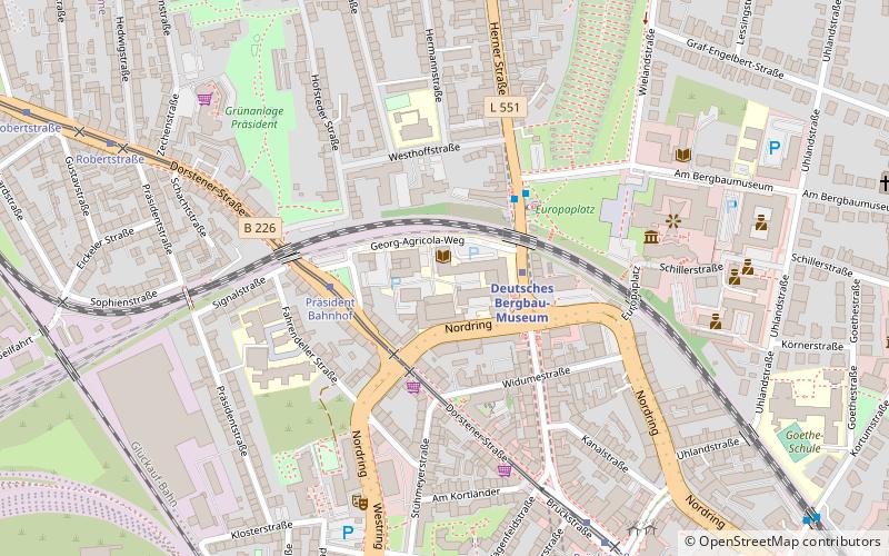
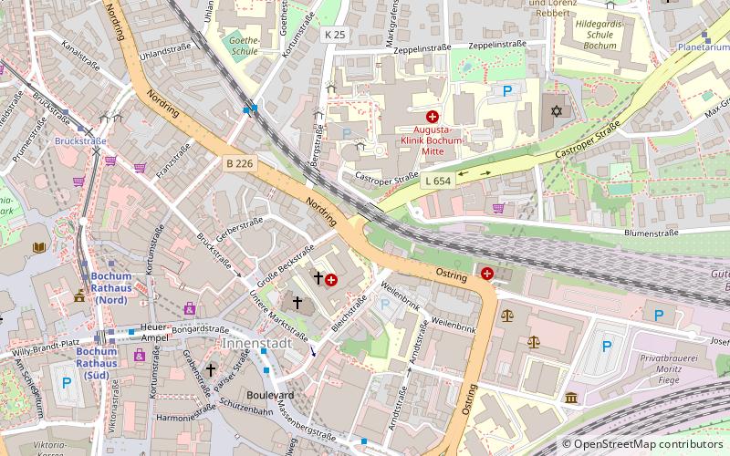
Map
Facts and practical information
The Technische Hochschule Georg Agricola is a state-accredited, private university of applied sciences based in Bochum, Germany. It was founded in 1816 as a Bergschule to train mining officials and mining foremen and, in the 20th century, grew into an engineering college and later a university. It has borne the name of the polymath and mining pioneer Georgius Agricola since 1995. ()
Getting there by public transportation
Public transportation stops near this location
- Metro
- Bus
- Tram
- Train
 Metro
Metro
- Calculate routeDeutsches Bergbau-Museum 2 min walk
- Calculate routeRathaus 11 min walk
- Calculate routeFeldsieper Straße 11 min walk
- Calculate routeBochum Hauptbahnhof 20 min walk
- Calculate routePräsident Bahnhof 3 min walk
- Calculate routeBrückstraße 7 min walk
- Calculate routeRobertstraße 9 min walk
- Calculate routeBochum Rathaus 11 min walk
- Calculate routeBochum West 12 min walk
- Calculate routeBochum-Hamme 14 min walk
- Calculate routeBochum Hauptbahnhof 21 min walk
- Calculate routeBochum-Ehrenfeld 29 min walk
- Calculate routeMühlenweg 13 min walk
- Calculate routeSüdring 18 min walk
Day trips


Frequently Asked Questions (FAQ)
Which popular attractions are close to Technische Hochschule Georg Agricola?
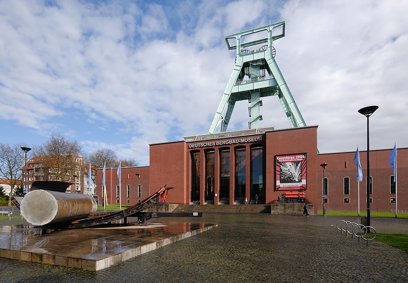
Nearby attractions include German Mining Museum, Bochum (5 min walk), Public library, Bochum (10 min walk), Kunstmuseum Bochum, Bochum (10 min walk), War Memorial, Bochum (11 min walk).
How to get to Technische Hochschule Georg Agricola by public transport?
The nearest stations to Technische Hochschule Georg Agricola:
Metro
Tram
Train
Bus
Metro
- Deutsches Bergbau-Museum • Lines: U35 (2 min walk)
- Rathaus • Lines: U35 (11 min walk)
Tram
- Präsident Bahnhof • Lines: 306, 316 (3 min walk)
- Brückstraße • Lines: 306, 316 (7 min walk)
Train
- Bochum West (12 min walk)
- Bochum-Hamme (14 min walk)
Bus
- Mühlenweg • Lines: 352 (13 min walk)
- Südring • Lines: 365 (18 min walk)