Sankt-Pankratius-Kirche, Heidelberg
Map

Gallery

Facts and practical information
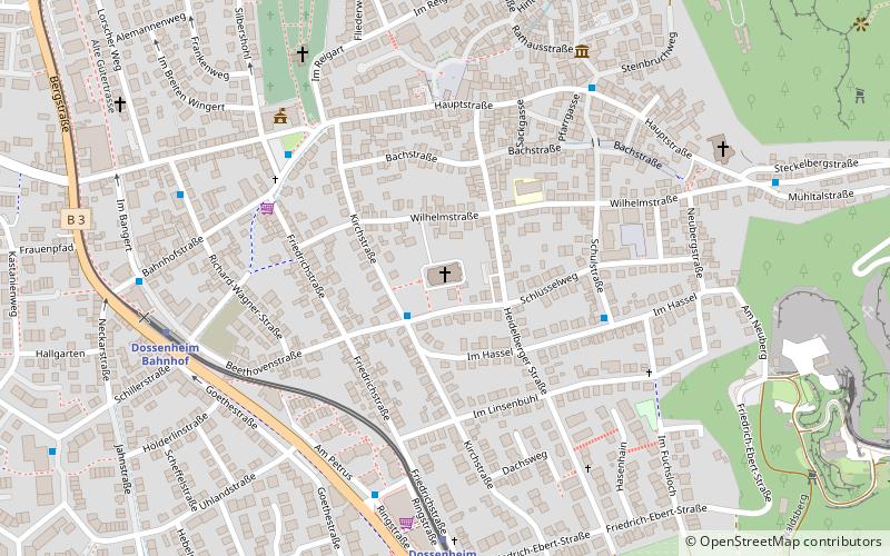
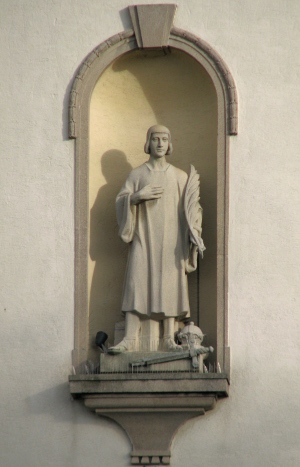
St. Pancratius Catholic Church in Dossenheim, a municipality in the Rhine-Neckar district in northwestern Baden-Württemberg, was built between 1923 and 1926 in the Neo-Baroque style according to the plans of Hans Strobl.
Coordinates: 49°26'57"N, 8°40'31"E
Address
14 WilhelmstraßeHeidelberg
ContactAdd
Social media
Add
Day trips
Sankt-Pankratius-Kirche – popular in the area (distance from the attraction)
Nearby attractions include: Dossenheim, Schauenburg, Klause, Evangelical Church.
Frequently Asked Questions (FAQ)
Which popular attractions are close to Sankt-Pankratius-Kirche?
Nearby attractions include Dossenheim, Heidelberg (3 min walk), Evangelical Church, Heidelberg (7 min walk), Schauenburg, Heidelberg (18 min walk), Klause, Heidelberg (23 min walk).
How to get to Sankt-Pankratius-Kirche by public transport?
The nearest stations to Sankt-Pankratius-Kirche:
Bus
Tram
Train
Bus
- Kirchstraße/Schlüsselweg • Lines: 653 (2 min walk)
- Schulstraße • Lines: 653 (4 min walk)
Tram
- Dossenheim Süd • Lines: 24 (6 min walk)
- Burgstraße • Lines: 23, 24 (27 min walk)
Train
- Dossenheim Süd (6 min walk)
- Dossenheim Bahnhof (7 min walk)


