Klause, Heidelberg
Map
Gallery

Facts and practical information
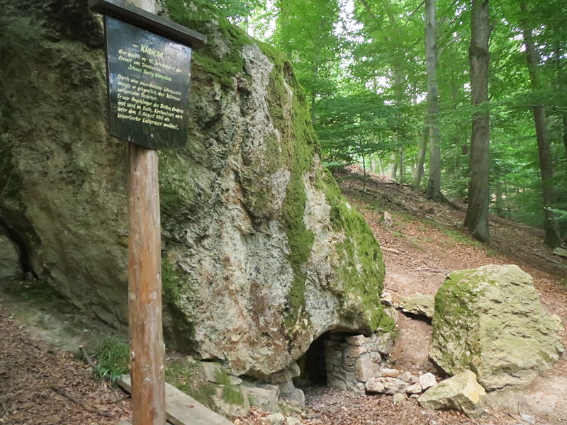
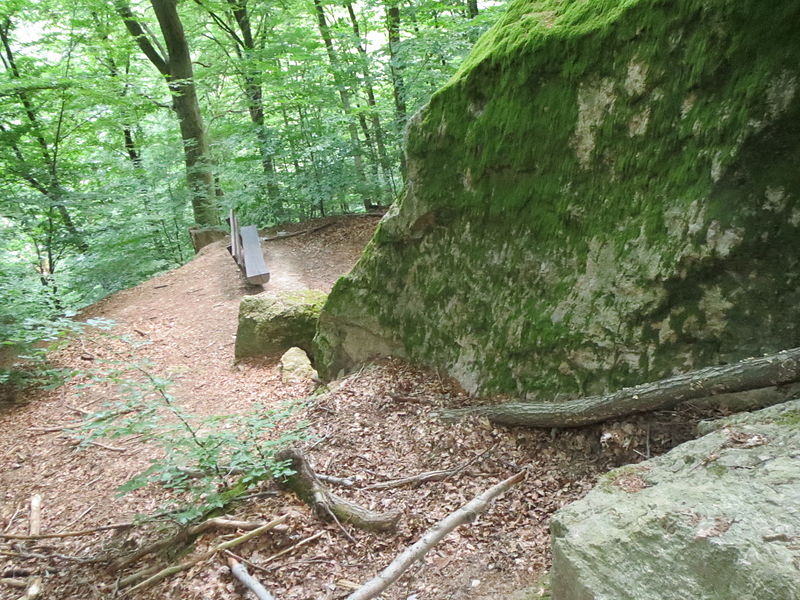
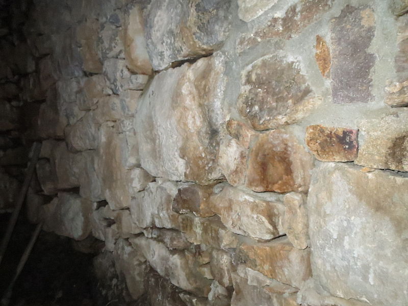
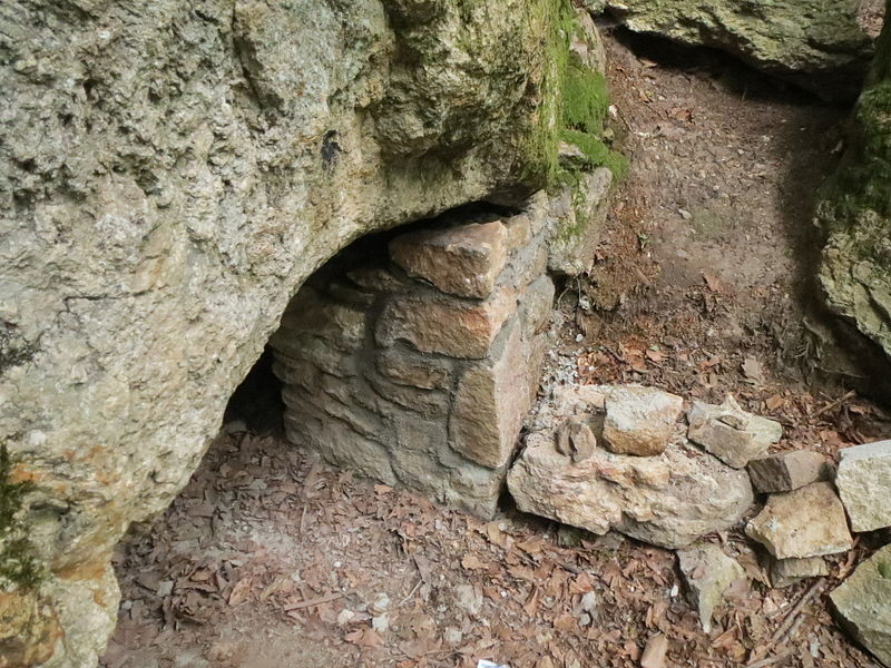
The Dossenheimer Klause is a cave-like cluster of one large and several small rocks in the Odenwald forest northeast of Dossenheim in the Rhine-Neckar district in northwestern Baden-Württemberg.
Coordinates: 49°27'15"N, 8°41'35"E
Address
Heidelberg
ContactAdd
Social media
Add
Day trips
Klause – popular in the area (distance from the attraction)
Nearby attractions include: Hoher Nistler, Dossenheim, Schauenburg, Sankt-Pankratius-Kirche.
Frequently Asked Questions (FAQ)
Which popular attractions are close to Klause?
Nearby attractions include Evangelical Church, Heidelberg (16 min walk), Schauenburg, Heidelberg (18 min walk), Hoher Nistler, Heidelberg (23 min walk), Sankt-Pankratius-Kirche, Heidelberg (23 min walk).
How to get to Klause by public transport?
The nearest stations to Klause:
Bus
Tram
Train
Bus
- Parkplatz am Waldfrieden • Lines: 653 (9 min walk)
- Brunnen Mühltalbrücke • Lines: 653 (15 min walk)
Tram
- Dossenheim Süd • Lines: 24 (26 min walk)
Train
- Dossenheim Süd (26 min walk)
- Dossenheim Bahnhof (29 min walk)


