Schauenburg, Heidelberg
Map

Map

Facts and practical information
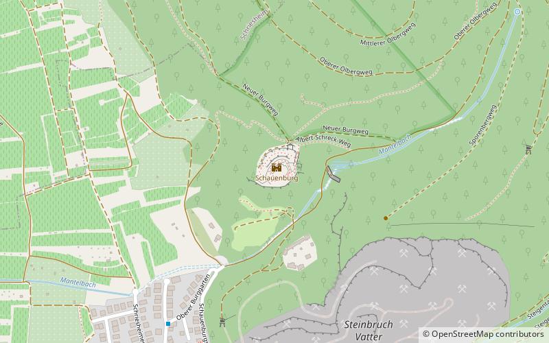
Schauenburg Castle, also called Neu-Schauenburg, is the ruins of a spur castle east of the municipality of Dossenheim in the Rhine-Neckar district in Baden-Württemberg. The remains of the former high castle are located at about 275 meters above sea level on the southern foothills of the Ölberg.
Address
Heidelberg
ContactAdd
Social media
Add
Day trips
Schauenburg – popular in the area (distance from the attraction)
Nearby attractions include: Strahlenburg, Dossenheim, Evangelische Kirche Schriesheim, Sankt-Pankratius-Kirche.
Frequently Asked Questions (FAQ)
Which popular attractions are close to Schauenburg?
Nearby attractions include Evangelical Church, Heidelberg (15 min walk), Dossenheim, Heidelberg (18 min walk), Klause, Heidelberg (18 min walk), Sankt-Pankratius-Kirche, Heidelberg (18 min walk).
How to get to Schauenburg by public transport?
The nearest stations to Schauenburg:
Bus
Tram
Train
Bus
- Oberer/Unterer Burggarten • Lines: 653 (7 min walk)
- Schauenburg Straße 43/45 • Lines: 653 (8 min walk)
Tram
- Dossenheim Nord • Lines: 24 (18 min walk)
- Schriesheim Süd • Lines: 24 (20 min walk)
Train
- Dossenheim Nord (18 min walk)
- Schriesheim Süd (20 min walk)


