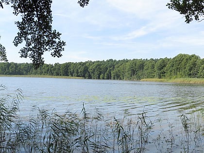
Caarpsee, Müritz National Park
Map
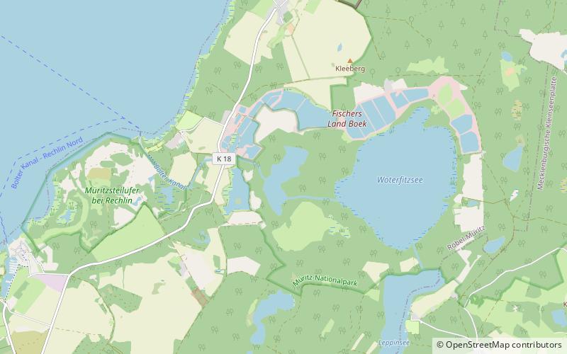
Map

Facts and practical information
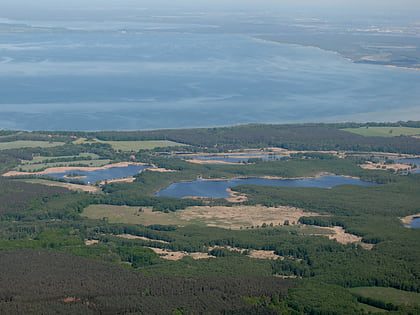
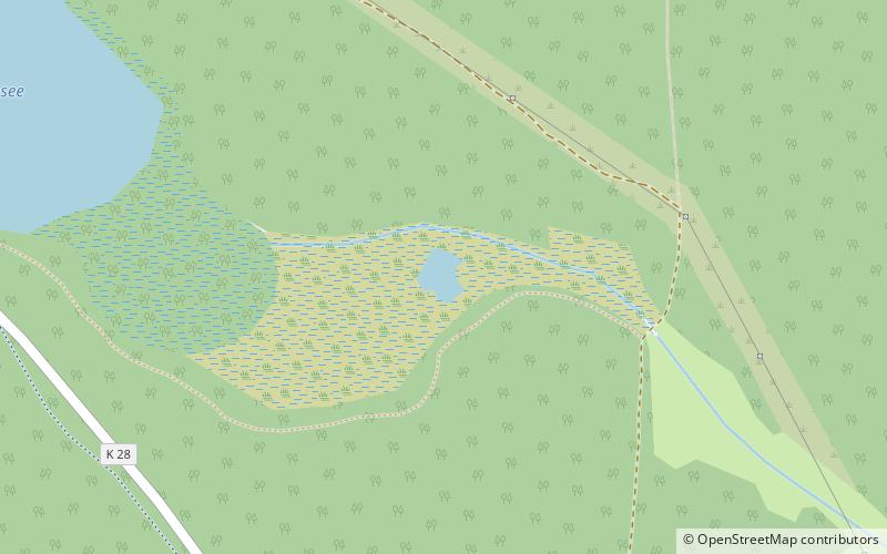
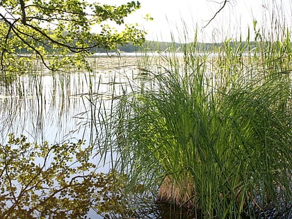
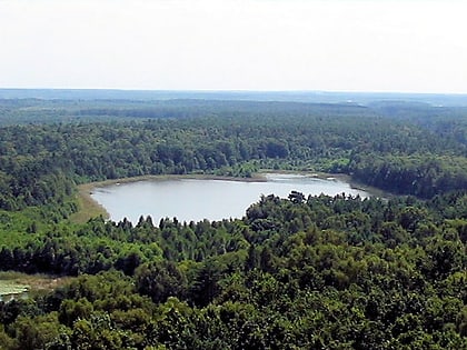
Caarpsee is a lake in the Mecklenburgische Seenplatte district in Mecklenburg-Vorpommern, Germany. At an elevation of 58.8 m, its surface area is 0.412 km². It lies between the larger Woterfitzsee and the Fischteichen between Rechlin and Boek, about two kilometers east of the Müritz. The lake has a north-south extension of about 1100 meters and a west-east extension of about 300 meters. ()
Alternative names: Area: 71.66 acres (0.112 mi²)Elevation: 184 ft a.s.l.Coordinates: 53°22'7"N, 12°47'36"E
Address
Müritz National Park
ContactAdd
Social media
Add
Day trips
Caarpsee – popular in the area (distance from the attraction)
Nearby attractions include: Müritz, Großer Zillmannsee, Kleine Müritz, Claassee.
Frequently Asked Questions (FAQ)
How to get to Caarpsee by public transport?
The nearest stations to Caarpsee:
Bus
Bus
- Rechlin, Boeker Landstraße • Lines: 025 (34 min walk)
- Amalienhofer Kreuz • Lines: 9 (39 min walk)
