Hungerturm, Bernau bei Berlin

Gallery (1)
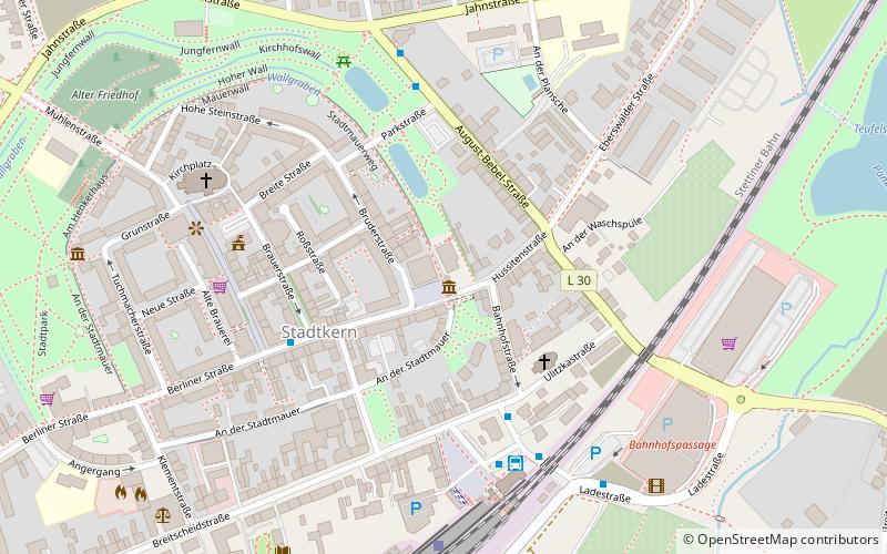
Map
Map
Facts and practical information
Hungerturm is a place located in Bernau bei Berlin (Brandenburg state) and belongs to the category of tower.
It is situated at an altitude of 223 feet, and its geographical coordinates are 52°40'43"N latitude and 13°35'30"E longitude.
Planning a visit to this place, one can easily and conveniently get there by public transportation. Hungerturm is a short distance from the following public transport stations: Bernau bei Berlin (bus, 4 min walk), Bernau (train, 6 min walk).
Among other places and attractions worth visiting in the area are: Steintor (museum, 1 min walk), Denkmal für die Opfer des Faschismus (memorial, 4 min walk), Deserteursdenkmal (memorial, 8 min walk).
Coordinates: 52°40'43"N, 13°35'30"E
Address
Bernau bei Berlin
ContactAdd
Social media
Add
Getting there by public transportation
Public transportation stops near this location
- Bus
- Train
 Bus
Bus
- Calculate routeBernau bei Berlin 4 min walk
- Calculate routeRathaus 4 min walk
- Calculate routeBernau, Busbahnhof 5 min walk
- Calculate routeS Bernau 5 min walk
- Calculate routeBernau 6 min walk
Day trips


Frequently Asked Questions (FAQ)
Which popular attractions are close to Hungerturm?
Nearby attractions include Steintor, Bernau bei Berlin (1 min walk), Denkmal für die Opfer des Faschismus, Bernau bei Berlin (4 min walk), Deserteursdenkmal, Bernau bei Berlin (8 min walk), Mühlentor, Bernau bei Berlin (8 min walk).
How to get to Hungerturm by public transport?
The nearest stations to Hungerturm:
Bus
Train
Bus
- Bernau bei Berlin • Lines: 125, 170 (4 min walk)
- Rathaus • Lines: 868 (4 min walk)
Train
- Bernau (6 min walk)