Drosselgasse, Rüdesheim
Map

Map

Facts and practical information
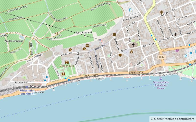
Drosselgasse is a two-meter-wide and about 144-meter-long cobblestone street in Rüdesheim am Rhein, Germany, visited by about three million people annually.
The numerous wine houses, some of which are half-timbered, along with gift and souvenir stores, characterize the image of the world-famous Drosselgasse. It is one of six connecting alleys between Rüdesheim's Oberstraße and the Rhine bank promenade.
Coordinates: 49°58'42"N, 7°55'15"E
Day trips
Drosselgasse – popular in the area (distance from the attraction)
Nearby attractions include: Niederwalddenkmal, Burg Klopp, Eibingen Abbey, Brömserburg.
Frequently Asked Questions (FAQ)
Which popular attractions are close to Drosselgasse?
Nearby attractions include Klunkhardshof, Rüdesheim (2 min walk), Vorderburg, Rüdesheim (3 min walk), Boosenburg, Rüdesheim (4 min walk), Brömserburg, Rüdesheim (4 min walk).
How to get to Drosselgasse by public transport?
The nearest stations to Drosselgasse:
Bus
Train
Bus
- Bahnhof/Brömserburg • Lines: 171, 187 (4 min walk)
- Bahnhof • Lines: 171, 185, 187 (6 min walk)
Train
- Rüdesheim am Rhein (8 min walk)
- Bingen Stadt (25 min walk)


