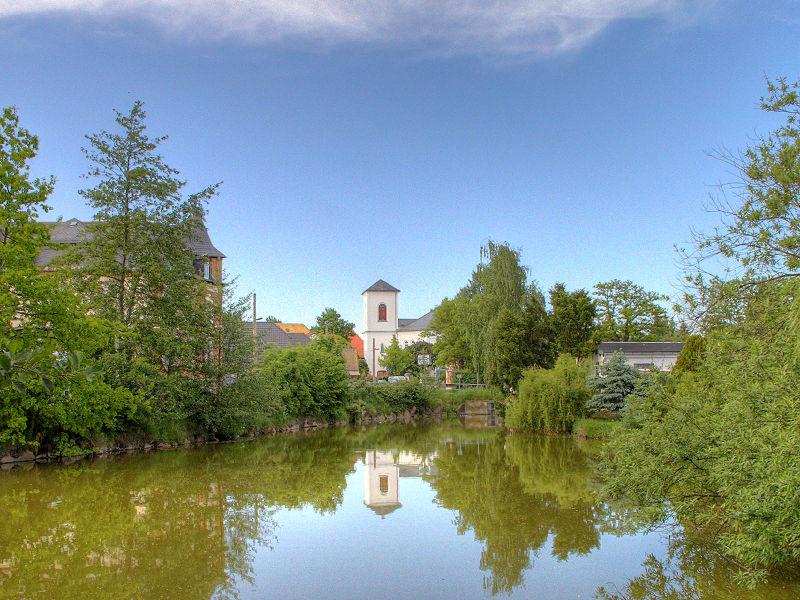
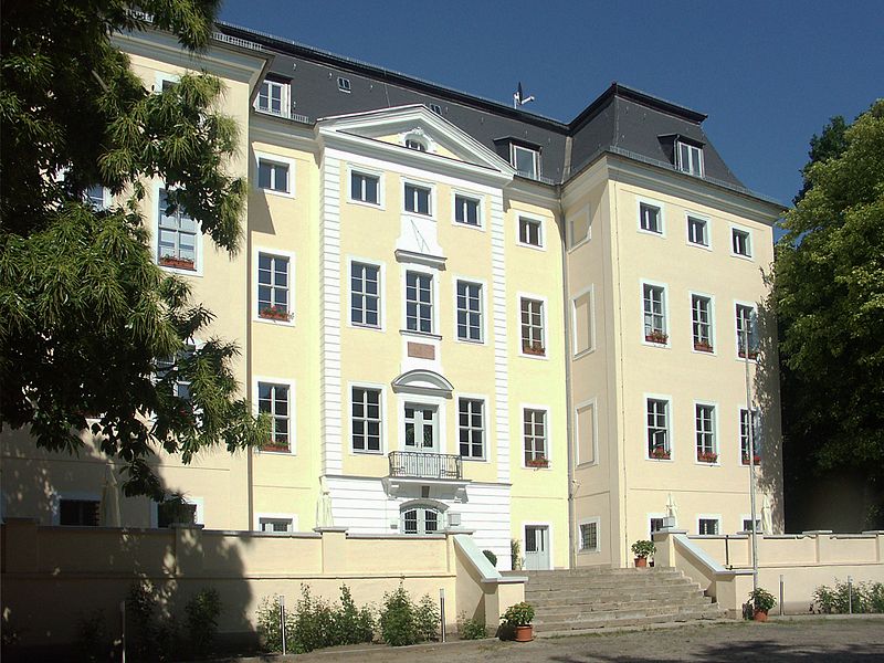
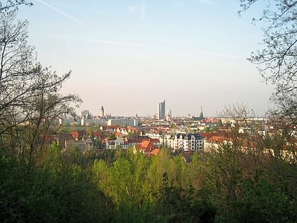
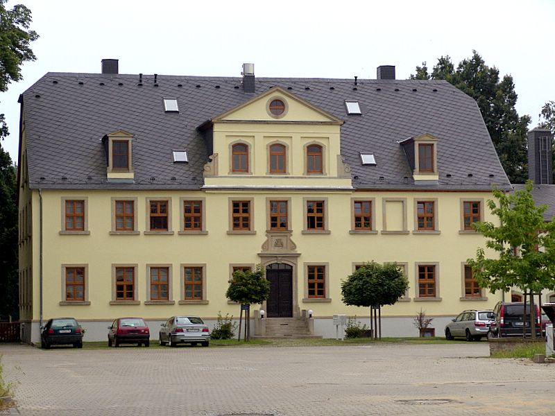
Schloss Knauthain, Leipzig
Map
Gallery
Facts and practical information
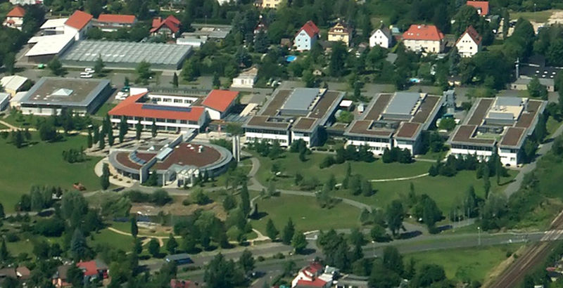
Knauthain has been a district of Leipzig since its incorporation in 1936. It is located in the floodplain of the White Elster about 10 kilometers south of the city center and belonged together with Knautnaundorf and Knautkleeberg to the so-called Knaut villages.
Coordinates: 51°16'27"N, 12°19'5"E
Day trips
Schloss Knauthain – popular in the area (distance from the attraction)
Nearby attractions include: Belantis, Huracan, Fockeberg, Sommerbad Kleinzschocher.
Frequently Asked Questions (FAQ)
How to get to Schloss Knauthain by public transport?
The nearest stations to Schloss Knauthain:
Bus
Tram
Train
Bus
- Knauthain, Am Weiher • Lines: 120, 63, N1 (9 min walk)
- Seumestraße • Lines: 63 (11 min walk)
Tram
- Knautkleeberg • Lines: 1 (11 min walk)
- Fortunabadstraße • Lines: 1 (15 min walk)
Train
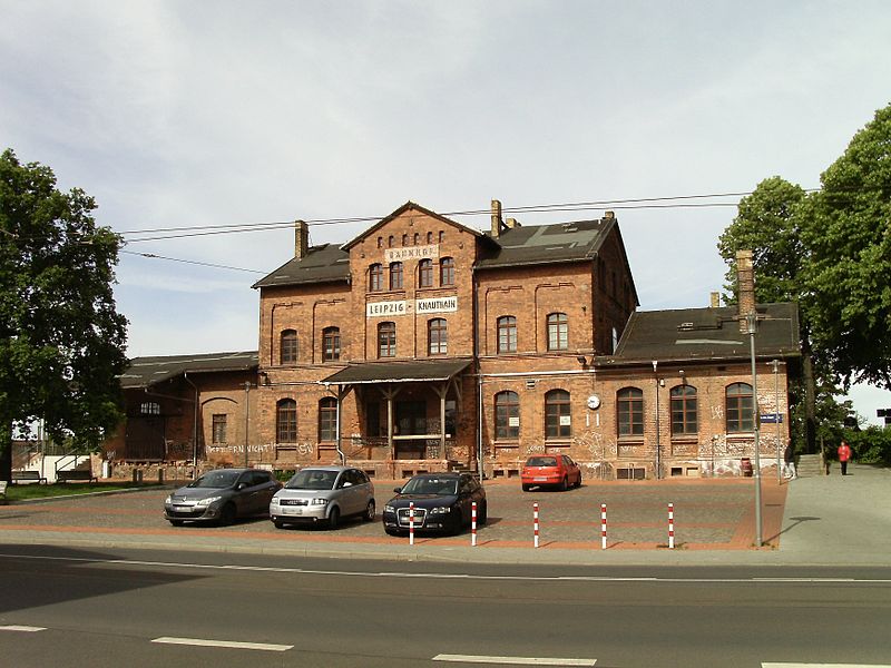
- Leipzig-Knauthain (12 min walk)


