Latschensee, Bavarian Forest National Park

Gallery (1)
Map
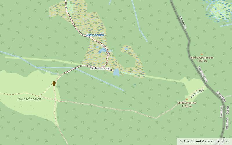
Map
Facts and practical information
Latschensee is a lake in the Bavarian Forest, Bavaria, Germany. It lies at an elevation of 1150 meters and has a surface area of 0.1 hectares. ()
Alternative names: Length: 148 ftWidth: 115 ftMaximum depth: 7 ftElevation: 3789 ft a.s.l.Coordinates: 49°1'32"N, 13°23'52"E
Address
Bavarian Forest National Park
ContactAdd
Social media
Add
Day trips