Rachelsee

Gallery (1)
Map
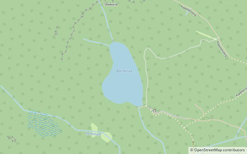
Map
Facts and practical information
Rachelsee is a lake in the Bavarian Forest, Bavaria, Germany. It lies at an elevation of 1071 metres and has a surface area of 5.7 hectares. ()
Alternative names: Area: 0.37 mi²Length: 1148 ftWidth: 673 ftMaximum depth: 44 ftElevation: 3517 ft a.s.l.Coordinates: 48°58'30"N, 13°24'7"E
Location
Bavaria
ContactAdd
Social media
Add
Day trips